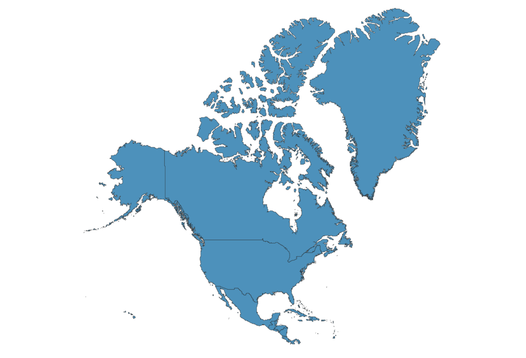
North America Map
Interactive Map of North America
North America is a continent with an area of over 24 million square km for a population of 579 million people. There are over 250 minor indigenous languages and time zones are between UTC-10 and UTC.
The highest North American mountain is Denali, at 6190 meters above sea level and it is located in Alaska, USA. The lowest point is Valley’s Badwater Basin at 86 meters below sea level.
Frequently asked questions about North America
What are all the North American countries?
- Antigua and Barbuda
- Guatemala
- Trinidad and Tobago
- Aruba
- Haiti
- Turks and Caicos Islands
- Bahamas
- Honduras
- U.S. Virgin Islands
- Barbados
- Jamaica
- United States
- Belize
- Mexico
- Bermuda
- Montserrat
- Canada
- Nicaragua
- Cayman Islands
- Panama
- Costa Rica
- Puerto Rico
- Cuba
- Saint Barthelemy
- Curacao
- Saint Kitts and Nevis
- Dominica
- Saint Lucia
- Dominican Republic
- Saint Martin
- El Salvador
- Saint Pierre and Miquelon
- Greenland
- Saint Vincent and the Grenadines
- Anguilla
- Grenada
- Sint Maarten
What is the population of North America?
In North America live 579 million people.
What are 10 major cities in North America?
The most pupulated North American city is Mexico City with over 8 million people. Other famous big cities are New York City, Los Angeles, Toronto, Chicago, Houston, Havana, Montreal, Ecatepec de Morelos, Philadelphia,
Phoenix.
Get Full Access
1) Access Map Editor
(create interactive maps)
2) Get 230+ country flags
(100% licensed vectors and images)
3) Get 230+ country maps
(100% licensed vectors and images) Get Full AccessOnly $4/month ($47 for 1 year)
After expiration, you have full licenses of all your downloads forever.