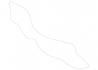
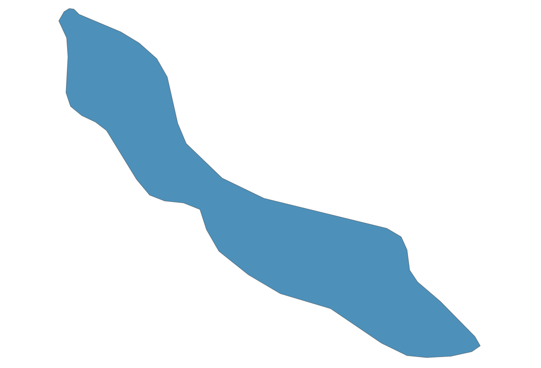
Curacao Map - SVG Vector
Interactive Map of Curacao
Curacao is a Constitutional monarchy founded in 1499 and located in the area of North America, with a land area of 445 km² and population density of 362 people per km². Territory of Curacao borders Caribbean sea. Gross domestic product (GDP) is of about 560000 millions of dollars dollars.
Geography of Curacao
Christoffelberg is the highest point in Curacao at an altitude of 375 meters, instead the lowest point in the country is Caribbean Sea at sea level.
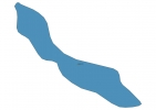
Simple Maps of Curacao
Here are the best maps of Curacao at high resolution. Below you find printable maps showing Curacao in different styles and positions.
Frequently asked questions about Curacao
How is Curacao divided?
If you are looking for regions or provinces in Curacao, here are all the main areas:
- Curaçao
What are the main points of interest in Curacao?
The major tourist attractions in Curacao are Little Curacao, Queen Emma Bridge, Curaçao Sea Aquarium, Christoffel National Park, Hato Caves, Kleine Knip, Mambo Beach, Shete Boka Park, Grote Knip.
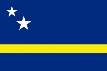
What is the flag of Curacao?
What is the capital of Curacao?
The main city and capital of Curacao is Willemstad.
What is the currency in Curacao?
Official currency of Curacao is Guilder.
What is the population of Curacao?
In Curacao there are 161000 people.
What is international phone code in Curacao?
Curacao telephone code is 599.
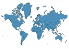
Other Country Maps in North America
Get Full Access
1) Access Map Editor
(create interactive maps)
2) Get 230+ country flags
(100% licensed vectors and images)
3) Get 230+ country maps
(100% licensed vectors and images) Get Full AccessOnly $4/month ($47 for 1 year)
After expiration, you have full licenses of all your downloads forever.