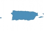
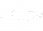
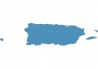
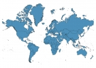
Puerto Rico Map - SVG Vector
Interactive Map of Puerto Rico
Puerto Rico is a Republic founded in 1508 and located in the area of North America, with a land area of 9105 km² and population density of 313 people per km². Territory of Puerto Rico borders Caribbean sea. Gross domestic product (GDP) is of about 935200 millions of dollars dollars.
Geography of Puerto Rico
Cerro de Punta is the highest point in Puerto Rico at an altitude of 1338 meters, instead the lowest point in the country is Caribbean Sea at sea level.
Simple Maps of Puerto Rico
Here are the best maps of Puerto Rico at high resolution. Below you find printable maps showing Puerto Rico in different styles and positions.
Frequently asked questions about Puerto Rico
How is Puerto Rico divided?
If you are looking for regions or provinces in Puerto Rico, here are all the main areas:
- Puerto Rico
What are the main points of interest in Puerto Rico?
The major tourist attractions in Puerto Rico are El Yunque National Forest, Castillo San Felipe del Morro, Bahía Bioluminiscente, Castillo de San Cristóbal, Flamenco Beach, El Yunque, La Fortaleza, Cueva Ventana, Cayo Icacos.
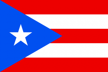
What is the flag of Puerto Rico?
What is the capital of Puerto Rico?
The main city and capital of Puerto Rico is San Juan.
What is the currency in Puerto Rico?
Official currency of Puerto Rico is Dollar.
What is the population of Puerto Rico?
In Puerto Rico there are 2854300 people.
What is international phone code in Puerto Rico?
Puerto Rico telephone code is 1-939.
