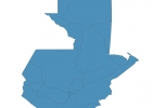
Guatemala Map - SVG Vector
Interactive Map of Guatemala
Guatemala is a Republic founded in 1821 and located in the area of North America, with a land area of 108891 km² and population density of 165 people per km². Territory of Guatemala borders Belize, El Salvador, Honduras, Mexico. Gross domestic product (GDP) is of about 539000 millions of dollars dollars.
Geography of Guatemala
Volcán Tajumulco is the highest point in Guatemala at an altitude of 4220 meters, instead the lowest point in the country is North Pacific Ocean at sea level.
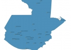
Simple Maps of Guatemala
Here are the best maps of Guatemala at high resolution. Below you find printable maps showing Guatemala in different styles and positions.


Frequently asked questions about Guatemala
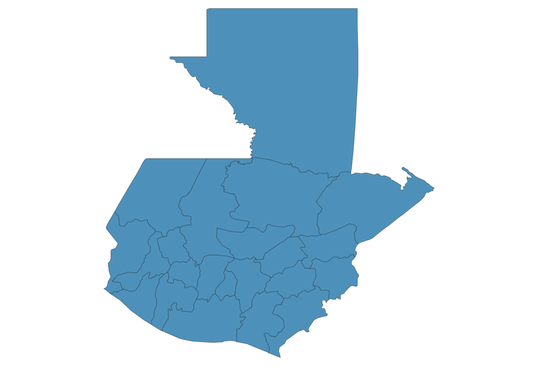
How is Guatemala divided?
If you are looking for regions or provinces in Guatemala, here are all the main areas:
- Jutiapa
- Chiquimula
- Petén
- San Marcos
- Huehuetenango
- Quiché
- Alta Verapaz
- Izabal
- Zacapa
- Retalhuleu
- Suchitepéquez
- Escuintla
- Santa Rosa
- Chimaltenango
- Sacatepéquez
- Guatemala
- Jalapa
- El Progreso
- Sololá
- Quezaltenango
- Baja Verapaz
- Totonicapán
What are the main points of interest in Guatemala?
The major tourist attractions in Guatemala are Tikal, Natural Monument Semuc Champey, Pacaya, Rio Dulce, Acatenango, Yaxha, The Great Jaguar Tikal, Santa Catalina Arch, Volcán San Pedro.
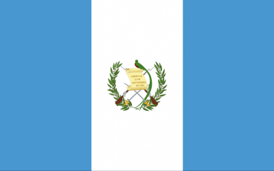
What is the flag of Guatemala?
What is the capital of Guatemala?
The main city and capital of Guatemala is Guatemala City.
What is the currency in Guatemala?
Official currency of Guatemala is Quetzal.
What is the population of Guatemala?
In Guatemala there are 17946500 people.
What is international phone code in Guatemala?
Guatemala telephone code is 502.
Other Country Maps in North America
Get Full Access
1) Access Map Editor
(create interactive maps)
2) Get 230+ country flags
(100% licensed vectors and images)
3) Get 230+ country maps
(100% licensed vectors and images) Get Full AccessOnly $4/month ($47 for 1 year)
After expiration, you have full licenses of all your downloads forever.