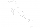
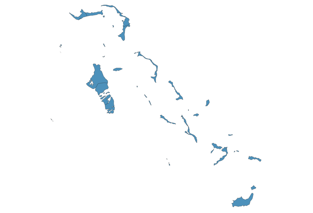
Bahamas Map - SVG Vector
Interactive Map of Bahamas
Bahamas is a Constitutional monarchy founded in 1973 and located in the area of North America, with a land area of 13941 km² and population density of 28 people per km². Territory of Bahamas borders the sea. Gross domestic product (GDP) is of about 837300 millions of dollars dollars.
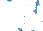
Geography of Bahamas
Mount Alvernia on Cat Island is the highest point in Bahamas at an altitude of 63 meters, instead the lowest point in the country is North Atlantic Ocean at sea level.
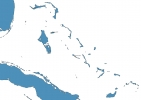
Simple Maps of Bahamas
Here are the best maps of Bahamas at high resolution. Below you find printable maps showing Bahamas in different styles and positions.
Frequently asked questions about Bahamas
How is Bahamas divided?
If you are looking for regions or provinces in Bahamas, here are all the main areas:
- Inagua
- Mayaguana
- Acklins
- Crooked Island and Long Cay
- Exuma
- Long Island
- Rum Cay
- Black Point
- San Salvador
- Central Andros
- Mangrove Cay
- South Andros
- Cat Island
- New Providence
- North Andros
- Central Eleuthera
- North Eleuthera
- South Eleuthera
- Berry Islands
- Moore’s Island
- City of Freeport
- West Grand Bahama
- East Grand Bahama
- Central Abaco
- South Abaco
- North Abaco
- Bimini
- Ragged Island
- Harbour Island
- Spanish Wells
What are the main points of interest in Bahamas?
The major tourist attractions in Bahamas are Atlantis Casino, Paradise Island, Harbor Island, Pig Beach, CocoCay, Castaway Cay, Salt Cay, Nassau Straw Market, Little San Salvador Island.
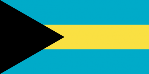
What is the flag of Bahamas?
What is the capital of Bahamas?
The main city and capital of Bahamas is Nassau.
What is the currency in Bahamas?
Official currency of Bahamas is Dollar.
What is the population of Bahamas?
In Bahamas there are 393600 people.
What is international phone code in Bahamas?
Bahamas telephone code is 1-242.
Other Country Maps in North America
Get Full Access
1) Access Map Editor
(create interactive maps)
2) Get 230+ country flags
(100% licensed vectors and images)
3) Get 230+ country maps
(100% licensed vectors and images) Get Full AccessOnly $4/month ($47 for 1 year)
After expiration, you have full licenses of all your downloads forever.