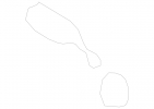
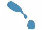
Saint Kitts and Nevis Map - SVG Vector
Interactive Map of Saint Kitts and Nevis
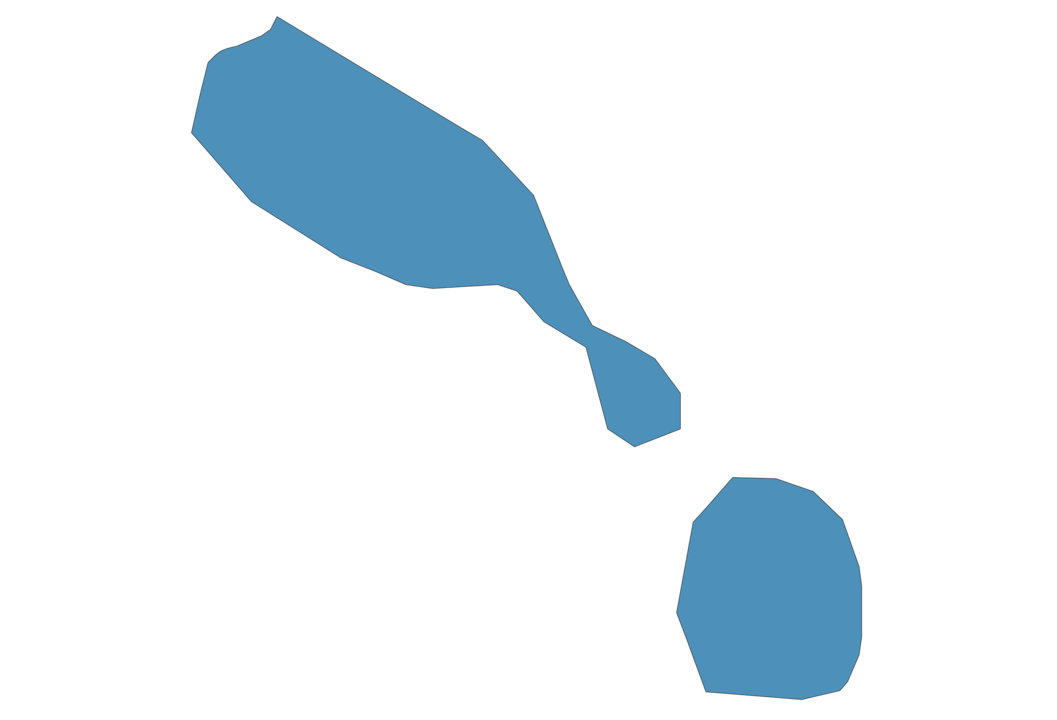
Saint Kitts and Nevis is a Constitutional monarchy founded in 1967 and located in the area of North America, with a land area of 262 km² and population density of 202 people per km². Territory of Saint Kitts and Nevis borders the sea. Gross domestic product (GDP) is of about 767000 millions of dollars dollars.
Geography of Saint Kitts and Nevis
Mount Liamuiga on Saint Kitts is the highest point in Saint Kitts and Nevis at an altitude of 1156 meters, instead the lowest point in the country is Caribbean Sea at sea level.
Simple Maps of Saint Kitts and Nevis
Here are the best maps of Saint Kitts and Nevis at high resolution. Below you find printable maps showing Saint Kitts and Nevis in different styles and positions.

Frequently asked questions about Saint Kitts and Nevis
How is Saint Kitts and Nevis divided?
If you are looking for regions or provinces in Saint Kitts and Nevis, here are all the main areas:
- Nevis
- Saint Kitts
- Nevis
- Saint Kitts
What are the main points of interest in Saint Kitts and Nevis?
The major tourist attractions in Saint Kitts and Nevis are Brimstone Hill Fortress National Park, Frigate Bay, Mount Liamuiga, South Friars Bay, Pinneys beach, St. Kitts Scenic Railway, Adonis Tour & Beach from Porte Zante, Caribelle Batik at Romney Manor, Nevis Peak.
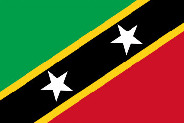
What is the flag of Saint Kitts and Nevis?
What is the capital of Saint Kitts and Nevis?
The main city and capital of Saint Kitts and Nevis is Basseterre.
What is the currency in Saint Kitts and Nevis?
Official currency of Saint Kitts and Nevis is Dollar.
What is the population of Saint Kitts and Nevis?
In Saint Kitts and Nevis there are 53000 people.
What is international phone code in Saint Kitts and Nevis?
Saint Kitts and Nevis telephone code is 1-869.
Other Country Maps in North America
Get Full Access
1) Access Map Editor
(create interactive maps)
2) Get 230+ country flags
(100% licensed vectors and images)
3) Get 230+ country maps
(100% licensed vectors and images) Get Full AccessOnly $4/month ($47 for 1 year)
After expiration, you have full licenses of all your downloads forever.