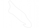
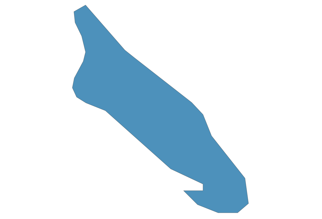
Aruba Map - SVG Vector
Interactive Map of Aruba
Aruba is a Constitutional monarchy founded in 1986 and located in the area of North America, with a land area of 194 km² and population density of 551 people per km². Territory of Aruba borders Caribbean sea. Gross domestic product (GDP) is of about 251600 millions of dollars dollars.
Geography of Aruba
Mount Jamanota is the highest point in Aruba at an altitude of 188 meters, instead the lowest point in the country is Caribbean Sea at sea level.
Simple Maps of Aruba
Here are the best maps of Aruba at high resolution. Below you find printable maps showing Aruba in different styles and positions.
Frequently asked questions about Aruba
How is Aruba divided?
If you are looking for regions or provinces in Aruba, here are all the main areas:
- Aruba
What are the main points of interest in Aruba?
The major tourist attractions in Aruba are Eagle Beach, Arikok National Park, California Lighthouse, Arashi Beach, Palm Island, Baby Beach, Natural Pool, Natural Bridge Aruba, Museo Historico Aruba.
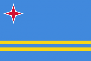
What is the flag of Aruba?
What is the capital of Aruba?
The main city and capital of Aruba is Oranjestad.
What is the currency in Aruba?
Official currency of Aruba is Guilder.
What is the population of Aruba?
In Aruba there are 106900 people.
What is international phone code in Aruba?
Aruba telephone code is 297.
Other Country Maps in North America
Get Full Access
1) Access Map Editor
(create interactive maps)
2) Get 230+ country flags
(100% licensed vectors and images)
3) Get 230+ country maps
(100% licensed vectors and images) Get Full AccessOnly $4/month ($47 for 1 year)
After expiration, you have full licenses of all your downloads forever.