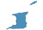
Trinidad and Tobago Map - SVG Vector
Interactive Map of Trinidad and Tobago
Trinidad and Tobago is a Republic founded in 1962 and located in the area of North America, with a land area of 5129 km² and population density of 271 people per km². Territory of Trinidad and Tobago borders the sea. Gross domestic product (GDP) is of about 271300 millions of dollars dollars.
Geography of Trinidad and Tobago
El Cerro del Aripo on Trinidad is the highest point in Trinidad and Tobago at an altitude of 940 meters, instead the lowest point in the country is Caribbean Sea at sea level.
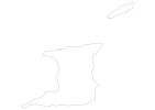
Simple Maps of Trinidad and Tobago
Here are the best maps of Trinidad and Tobago at high resolution. Below you find printable maps showing Trinidad and Tobago in different styles and positions.

Frequently asked questions about Trinidad and Tobago
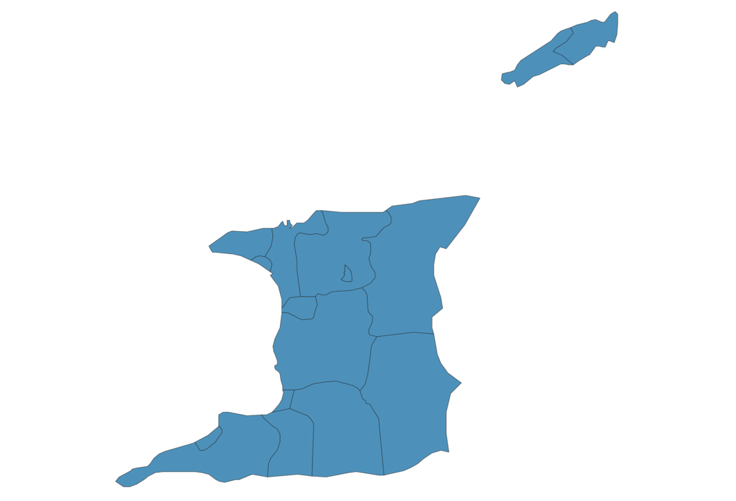
How is Trinidad and Tobago divided?
If you are looking for regions or provinces in Trinidad and Tobago, here are all the main areas:
- Tunapuna Piarco
- San Juan-Laventille
- Diego Martin
- Port of Spain
- Chaguanas
- Couva-Tabaquite-Talparo
- San Fernando
- Penal-Debe
- Siparia
- Point Fortin
- Princes Town
- Rio Claro-Mayaro
- Sangre Grande
- Eastern Tobago
- Western Tobago
- Arima
What are the main points of interest in Trinidad and Tobago?
The major tourist attractions in Trinidad and Tobago are Maracas Beach, La Brea Pitch Lake, Englishmans Bay, Caroni Bird Sanctuary, Little Tobago, Queen’s Park Savannah, Pigeon Point Beach, Store Bay, Argyle Falls.
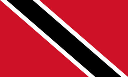
What is the flag of Trinidad and Tobago?
What is the capital of Trinidad and Tobago?
The main city and capital of Trinidad and Tobago is Port of Spain.
What is the currency in Trinidad and Tobago?
Official currency of Trinidad and Tobago is Dollar.
What is the population of Trinidad and Tobago?
In Trinidad and Tobago there are 1390000 people.
What is international phone code in Trinidad and Tobago?
Trinidad and Tobago telephone code is 1-868.
Other Country Maps in North America
Get Full Access
1) Access Map Editor
(create interactive maps)
2) Get 230+ country flags
(100% licensed vectors and images)
3) Get 230+ country maps
(100% licensed vectors and images) Get Full AccessOnly $4/month ($47 for 1 year)
After expiration, you have full licenses of all your downloads forever.