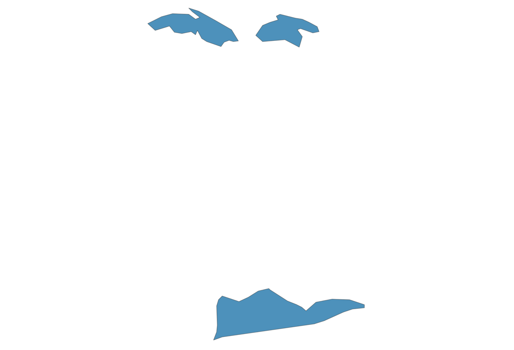
U.S. Virgin Islands Map - SVG Vector
Interactive Map of U.S. Virgin Islands
U.S. Virgin Islands is a Republic founded in 1917 and located in the area of North America, with a land area of 353 km² and population density of 296 people per km². Territory of U.S. Virgin Islands borders Atlantic ocean. Gross domestic product (GDP) is of about 3950 millions of dollars dollars.
Geography of U.S. Virgin Islands
Crown Mountain on Saint Thomas is the highest point in U.S. Virgin Islands at an altitude of 474 meters, instead the lowest point in the country is Caribbean Sea at sea level.
Simple Maps of U.S. Virgin Islands
Here are the best maps of U.S. Virgin Islands at high resolution. Below you find printable maps showing U.S. Virgin Islands in different styles and positions.


Frequently asked questions about U.S. Virgin Islands
How is U.S. Virgin Islands divided?
If you are looking for regions or provinces in U.S. Virgin Islands, here are all the main areas:
- Saint Croix
- Saint John
- Saint Thomas
What are the main points of interest in U.S. Virgin Islands?
The major tourist attractions in U.S. Virgin Islands are Magens Bay Beach, Trunk Bay, Virgin Islands National Park, Buck Island, Coral World Ocean Park, Water Island, Blackbeard’s Castle, Cinnamon Bay, Waterlemon Cay.
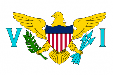
What is the flag of U.S. Virgin Islands?
What is the capital of U.S. Virgin Islands?
The main city and capital of U.S. Virgin Islands is Charlotte Amalie.
What is the currency in U.S. Virgin Islands?
Official currency of U.S. Virgin Islands is Dollar.
What is the population of U.S. Virgin Islands?
In U.S. Virgin Islands there are 104500 people.
What is international phone code in U.S. Virgin Islands?
U.S. Virgin Islands telephone code is 1-340.
Other Country Maps in North America
Get Full Access
1) Access Map Editor
(create interactive maps)
2) Get 230+ country flags
(100% licensed vectors and images)
3) Get 230+ country maps
(100% licensed vectors and images) Get Full AccessOnly $4/month ($47 for 1 year)
After expiration, you have full licenses of all your downloads forever.