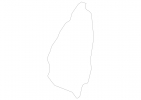
Saint Lucia Map - SVG Vector
Interactive Map of Saint Lucia
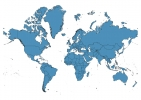
Saint Lucia is a Constitutional monarchy founded in 1967 and located in the area of North America, with a land area of 617 km² and population density of 298 people per km². Territory of Saint Lucia borders the sea. Gross domestic product (GDP) is of about 137700 millions of dollars dollars.
Geography of Saint Lucia
Mount Gimie is the highest point in Saint Lucia at an altitude of 950 meters, instead the lowest point in the country is Caribbean Sea at sea level.
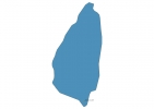
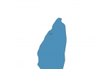
Simple Maps of Saint Lucia
Here are the best maps of Saint Lucia at high resolution. Below you find printable maps showing Saint Lucia in different styles and positions.
Frequently asked questions about Saint Lucia
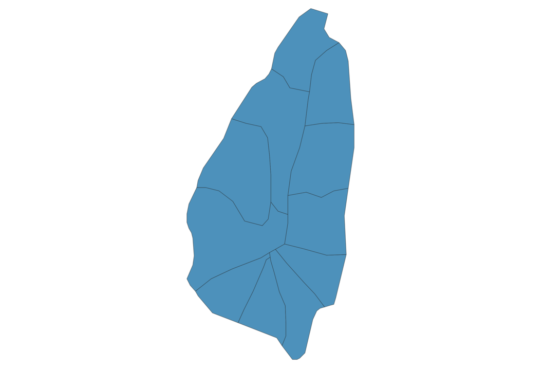
How is Saint Lucia divided?
If you are looking for regions or provinces in Saint Lucia, here are all the main areas:
- Gros Islet
- Castries
- Anse-la-Raye
- Soufrière
- Choiseul
- Laborie
- Vieux Fort
- Micoud
- Praslin
- Dennery
- Dauphin
What are the main points of interest in Saint Lucia?
The major tourist attractions in Saint Lucia are Gros Piton, Marigot Bay, Rodney Bay, Anse Chastanet Beach, Pigeon Island, Reduit Beach, Diamond Botanical Gardens, The Tet Paul Nature Trail, Morne Coubaril Estate.
What is the flag of Saint Lucia?
What is the capital of Saint Lucia?
The main city and capital of Saint Lucia is Castries.
What is the currency in Saint Lucia?
Official currency of Saint Lucia is Dollar.
What is the population of Saint Lucia?
In Saint Lucia there are 183800 people.
What is international phone code in Saint Lucia?
Saint Lucia telephone code is 1-758.
Other Country Maps in North America
Get Full Access
1) Access Map Editor
(create interactive maps)
2) Get 230+ country flags
(100% licensed vectors and images)
3) Get 230+ country maps
(100% licensed vectors and images) Get Full AccessOnly $4/month ($47 for 1 year)
After expiration, you have full licenses of all your downloads forever.