Malta Map - SVG Vector
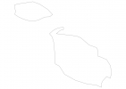
Interactive Map of Malta
Malta is a Republic founded in 1964 and located in the area of Europe, with a land area of 317 km² and population density of 1393 people per km². Territory of Malta borders the sea. Gross domestic product (GDP) is of about 954100 millions of dollars dollars.
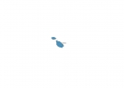
Geography of Malta
Ta’Dmejrek on Malta Island is the highest point in Malta at an altitude of 253 meters, instead the lowest point in the country is Mediterranean Sea at sea level.
Simple Maps of Malta
Here are the best maps of Malta at high resolution. Below you find printable maps showing Malta in different styles and positions.


Frequently asked questions about Malta
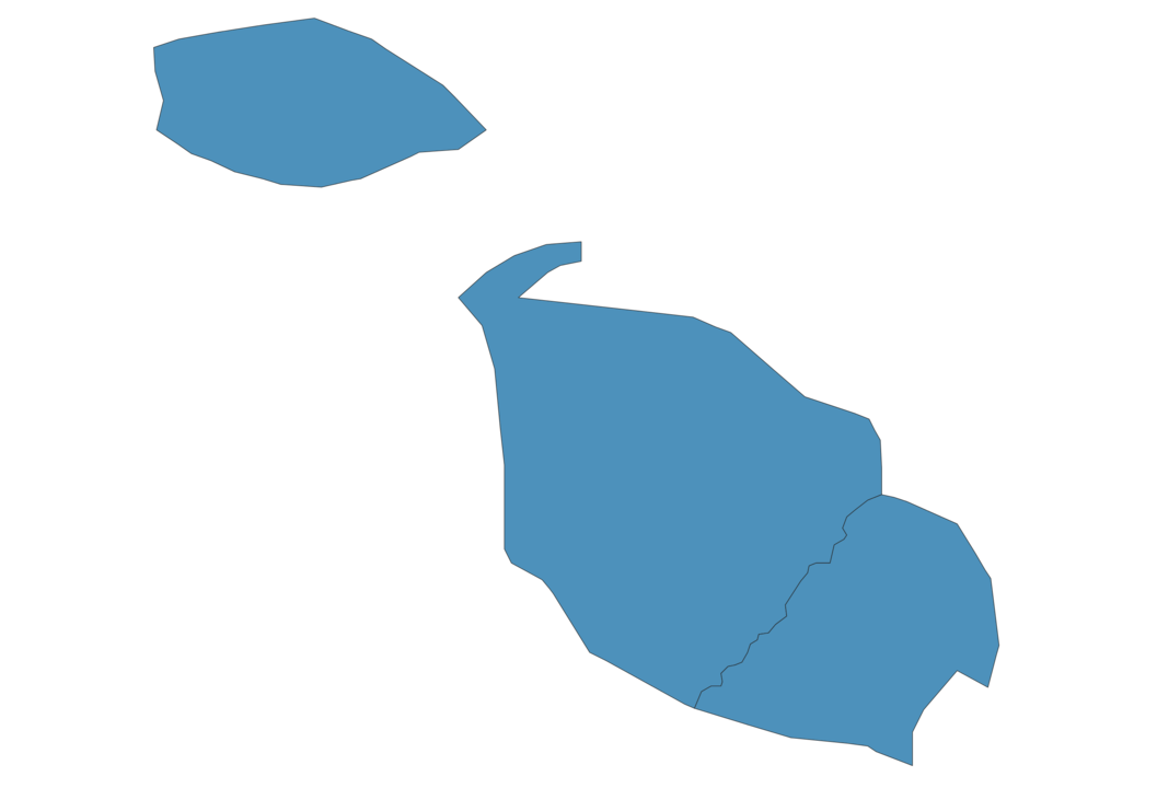
How is Malta divided?
If you are looking for regions or provinces in Malta, here are all the main areas:
- Gozo
- Malta Majjistral
- Malta Xlokk
What are the main points of interest in Malta?
The major tourist attractions in Malta are Comino, Azure Window (collapsed natural arch), St. John’s Co-Cathedral, Blue Lagoon, Grandmaster Palace Courtyard, Blue Grotto, Ħaġar Qim, Ħal Saflieni Hypogeum, Ramla Beach.
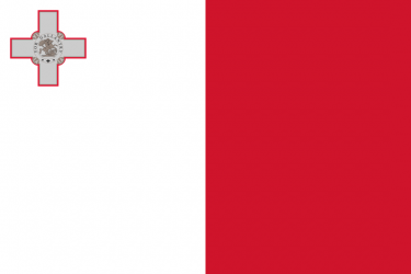
What is the flag of Malta?
What is the capital of Malta?
The main city and capital of Malta is Valletta.
What is the currency in Malta?
Official currency of Malta is Euro.
What is the population of Malta?
In Malta there are 441700 people.
What is international phone code in Malta?
Malta telephone code is 356.
Other Country Maps in Europe
Get Full Access
1) Access Map Editor
(create interactive maps)
2) Get 230+ country flags
(100% licensed vectors and images)
3) Get 230+ country maps
(100% licensed vectors and images) Get Full AccessOnly $4/month ($47 for 1 year)
After expiration, you have full licenses of all your downloads forever.