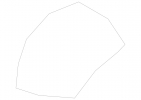
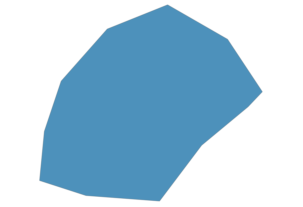
Monaco Map - SVG Vector
Interactive Map of Monaco
Monaco is a Constitutional monarchy founded in 1297 and located in the area of Europe, with a land area of 3 km² and population density of 13100 people per km². Territory of Monaco borders France. Gross domestic product (GDP) is of about 574800 millions of dollars dollars.
Geography of Monaco
along Chemin des Révoires on Mont Agel is the highest point in Monaco at an altitude of 161 meters, instead the lowest point in the country is Mediterranean Sea at sea level.
Simple Maps of Monaco
Here are the best maps of Monaco at high resolution. Below you find printable maps showing Monaco in different styles and positions.

Frequently asked questions about Monaco
How is Monaco divided?
If you are looking for regions or provinces in Monaco, here are all the main areas:
- Monaco
What are the main points of interest in Monaco?
The major tourist attractions in Monaco are Casino Monte-Carlo, Musée océanographique de Monaco, Prince’s Palace of Monaco, Exotic Garden of Monaco, Saint Nicholas Cathedral, Place du Casino, Opéra de Monte-Carlo, Larvotto Beach, Japanese Garden.
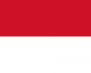
What is the flag of Monaco?
What is the capital of Monaco?
The main city and capital of Monaco is Monaco.
What is the currency in Monaco?
Official currency of Monaco is Euro.
What is the population of Monaco?
In Monaco there are 39300 people.
What is international phone code in Monaco?
Monaco telephone code is 377.
Other Country Maps in Europe
Get Full Access
1) Access Map Editor
(create interactive maps)
2) Get 230+ country flags
(100% licensed vectors and images)
3) Get 230+ country maps
(100% licensed vectors and images) Get Full AccessOnly $4/month ($47 for 1 year)
After expiration, you have full licenses of all your downloads forever.