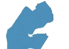
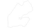
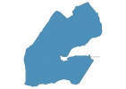
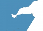
Djibouti Map - SVG Vector
Interactive Map of Djibouti
Djibouti is a Republic founded in 1977 and located in the area of Africa, with a land area of 23001 km² and population density of 43 people per km². Territory of Djibouti borders Eritrea, Ethiopia, Somaliland. Gross domestic product (GDP) is of about 145900 millions of dollars dollars.
Geography of Djibouti
Mousa Ali is the highest point in Djibouti at an altitude of 2028 meters, instead the lowest point in the country is Lake Assal at −155 m.
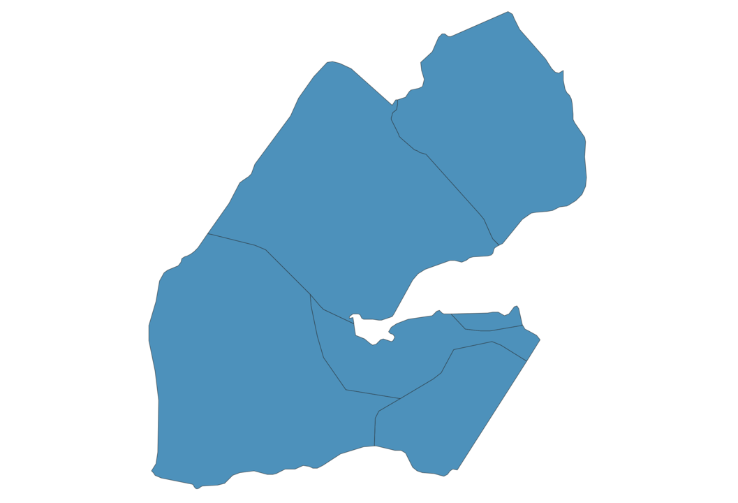
Simple Maps of Djibouti
Here are the best maps of Djibouti at high resolution. Below you find printable maps showing Djibouti in different styles and positions.
Frequently asked questions about Djibouti
How is Djibouti divided?
If you are looking for regions or provinces in Djibouti, here are all the main areas:
- Ali Sabieh
- Arta
- Dikhil
- Tadjourah
- Obock
- Djibouti
What are the main points of interest in Djibouti?
The major tourist attractions in Djibouti are Lac ‘Assal, Moucha Island, Day Forest National Park, Ghoubbet-el-Kharab, Maskali Island, Seven Brothers Islands, Khor Ambado Beach, Grand Bara, Ardoukoba.
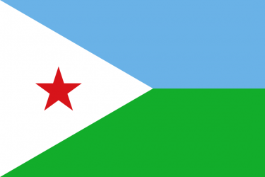
What is the flag of Djibouti?
What is the capital of Djibouti?
The main city and capital of Djibouti is Djibouti.
What is the currency in Djibouti?
Official currency of Djibouti is Franc.
What is the population of Djibouti?
In Djibouti there are 989400 people.
What is international phone code in Djibouti?
Djibouti telephone code is 253.
Other Country Maps in Africa
Get Full Access
1) Access Map Editor
(create interactive maps)
2) Get 230+ country flags
(100% licensed vectors and images)
3) Get 230+ country maps
(100% licensed vectors and images) Get Full AccessOnly $4/month ($47 for 1 year)
After expiration, you have full licenses of all your downloads forever.