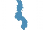
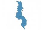
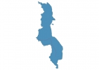
Malawi Map - SVG Vector
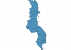
Interactive Map of Malawi
Malawi is a Republic founded in 1964 and located in the area of Africa, with a land area of 118481 km² and population density of 162 people per km². Territory of Malawi borders Mozambique, Tanzania, Zambia. Gross domestic product (GDP) is of about 368300 millions of dollars dollars.
Geography of Malawi
Mount Mulanje is the highest point in Malawi at an altitude of 3002 meters, instead the lowest point in the country is Shire River at 37 m.
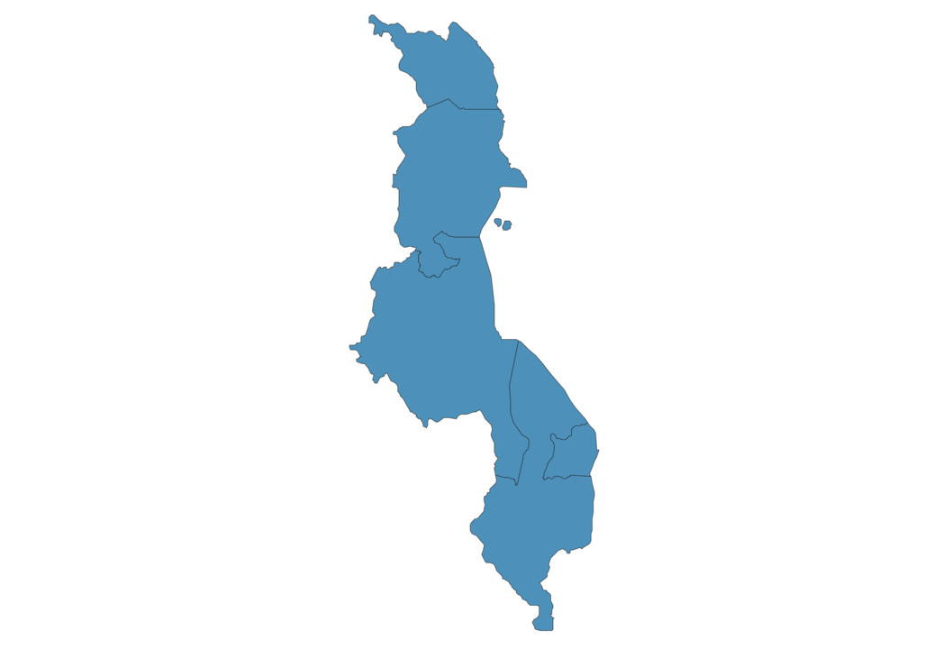
Simple Maps of Malawi
Here are the best maps of Malawi at high resolution. Below you find printable maps showing Malawi in different styles and positions.
Frequently asked questions about Malawi
How is Malawi divided?
If you are looking for regions or provinces in Malawi, here are all the main areas:
- Central
- Northern
- Southern
What are the main points of interest in Malawi?
The major tourist attractions in Malawi are Liwonde National Park, Lake Malawi National Park, Majete Wildlife Reserve, Nyika Plateau, Zomba Massif, Shire, Mvuu Camp, Nkotakhota Wildlife Reserve, Chongoni Rock Art Area.
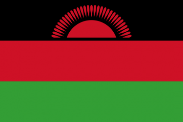
What is the flag of Malawi?
What is the capital of Malawi?
The main city and capital of Malawi is Lilongwe.
What is the currency in Malawi?
Official currency of Malawi is Kwacha.
What is the population of Malawi?
In Malawi there are 19176600 people.
What is international phone code in Malawi?
Malawi telephone code is 265.
Other Country Maps in Africa
Get Full Access
1) Access Map Editor
(create interactive maps)
2) Get 230+ country flags
(100% licensed vectors and images)
3) Get 230+ country maps
(100% licensed vectors and images) Get Full AccessOnly $4/month ($47 for 1 year)
After expiration, you have full licenses of all your downloads forever.