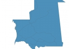
Mauritania Map - SVG Vector
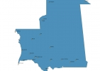
Interactive Map of Mauritania
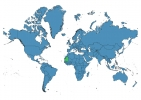
Mauritania is a Republic founded in 1960 and located in the area of Africa, with a land area of 1030701 km² and population density of 5 people per km². Territory of Mauritania borders Algeria, Mali, Senegal, Western Sahara. Gross domestic product (GDP) is of about 418300 millions of dollars dollars.
Geography of Mauritania
Kediet ej Jill is the highest point in Mauritania at an altitude of 915 meters, instead the lowest point in the country is Sebkha de Ndrhamcha at −5 m.
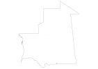
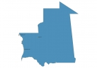
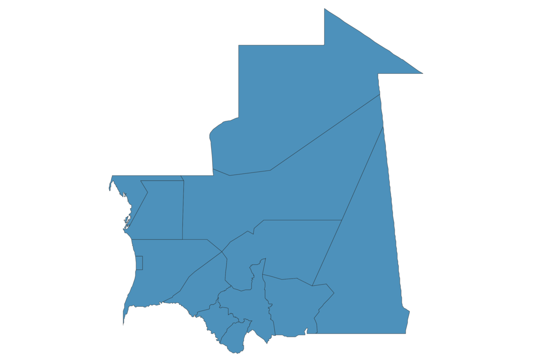
Simple Maps of Mauritania
Here are the best maps of Mauritania at high resolution. Below you find printable maps showing Mauritania in different styles and positions.

Frequently asked questions about Mauritania
How is Mauritania divided?
If you are looking for regions or provinces in Mauritania, here are all the main areas:
- Tiris Zemmour
- Dakhlet Nouadhibou
- Adrar
- Brakna
- Trarza
- Gorgol
- Guidimaka
- Hodh ech Chargui
- Hodh el Gharbi
- Assaba
- Inchiri
- Nouakchott
- Tagant
What are the main points of interest in Mauritania?
The major tourist attractions in Mauritania are Richat Structure, Banc d’Arguin National Park, Arguin, Ben Amera, Parc national du Diawling, Chinguetti Mosque, Amaṭlîch, Adrar Plateau, El Djouf.
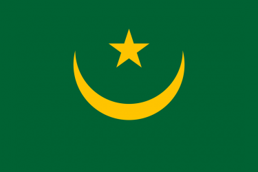
What is the flag of Mauritania?
What is the capital of Mauritania?
The main city and capital of Mauritania is Nouakchott.
What is the currency in Mauritania?
Official currency of Mauritania is Ouguiya.
What is the population of Mauritania?
In Mauritania there are 4661200 people.
What is international phone code in Mauritania?
Mauritania telephone code is 222.
Other Country Maps in Africa
Get Full Access
1) Access Map Editor
(create interactive maps)
2) Get 230+ country flags
(100% licensed vectors and images)
3) Get 230+ country maps
(100% licensed vectors and images) Get Full AccessOnly $4/month ($47 for 1 year)
After expiration, you have full licenses of all your downloads forever.