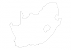
South Africa Map - SVG Vector
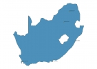
Interactive Map of South Africa
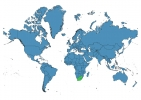
South Africa is a Republic founded in 1961 and located in the area of Africa, with a land area of 1219913 km² and population density of 49 people per km². Territory of South Africa borders Botswana, Eswatini, Lesotho, Mozambique, Namibia, Zimbabwe. Gross domestic product (GDP) is of about 354000 millions of dollars dollars.
Geography of South Africa
Mafadi is the highest point in South Africa at an altitude of 3450 meters, instead the lowest point in the country is South Atlantic Ocean at sea level.
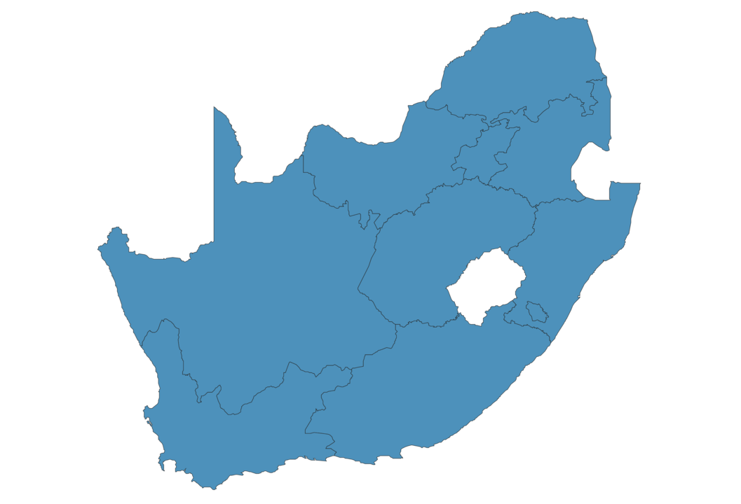
Simple Maps of South Africa
Here are the best maps of South Africa at high resolution. Below you find printable maps showing South Africa in different styles and positions.


Frequently asked questions about South Africa
How is South Africa divided?
If you are looking for regions or provinces in South Africa, here are all the main areas:
- Northern Cape
- KwaZulu-Natal
- Free State
- Eastern Cape
- Limpopo
- North West
- Mpumalanga
- Western Cape
- Gauteng
What are the main points of interest in South Africa?
The major tourist attractions in South Africa are Kruger National Park, Maclear’s Beacon, Cape of Good Hope, V&A Waterfront, Boulders Beach, Kirstenbosch National Botanical Garden, Robben Island, Cape Point, Table Mountain National Park.
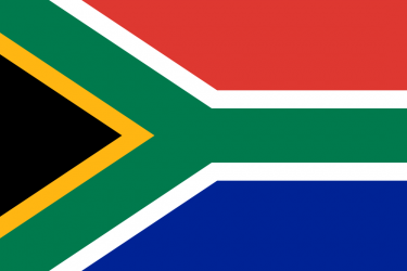
What is the flag of South Africa?
What is the capital of South Africa?
The main city and capital of South Africa is Pretoria.
What is the currency in South Africa?
Official currency of South Africa is Rand.
What is the population of South Africa?
In South Africa there are 59378000 people.
What is international phone code in South Africa?
South Africa telephone code is 27.
Other Country Maps in Africa
Get Full Access
1) Access Map Editor
(create interactive maps)
2) Get 230+ country flags
(100% licensed vectors and images)
3) Get 230+ country maps
(100% licensed vectors and images) Get Full AccessOnly $4/month ($47 for 1 year)
After expiration, you have full licenses of all your downloads forever.