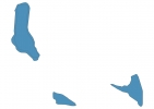
Comoros Map - SVG Vector
Interactive Map of Comoros
Comoros is a Republic founded in 1503 and located in the area of Africa, with a land area of 2171 km² and population density of 401 people per km². Territory of Comoros borders the sea. Gross domestic product (GDP) is of about 658000 millions of dollars dollars.
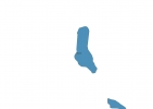
Geography of Comoros
Mount Karthala on Grande Comore is the highest point in Comoros at an altitude of 2360 meters, instead the lowest point in the country is Indian Ocean at sea level.
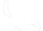
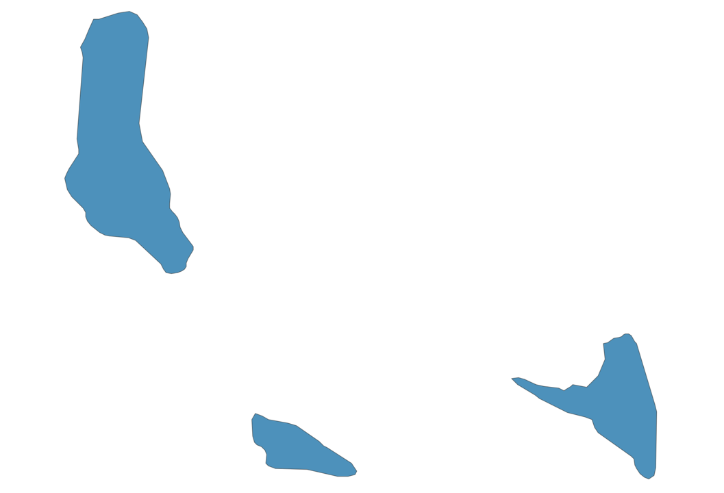
Simple Maps of Comoros
Here are the best maps of Comoros at high resolution. Below you find printable maps showing Comoros in different styles and positions.

Frequently asked questions about Comoros
How is Comoros divided?
If you are looking for regions or provinces in Comoros, here are all the main areas:
- Moûhîlî
- Andjouân
- Andjazîdja
What are the main points of interest in Comoros?
The major tourist attractions in Comoros are Mount Karthala, Moheli Marine Park, Maloudja Bungalows, Mssihiri wa Cheik Ahmed Mosque, Lac Niamawi, Dos du Dragon, Grande Mosquée de Moroni مسجد, Hamiri, Ancienne mosquée du vendredi.
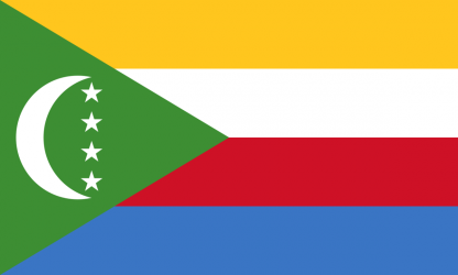
What is the flag of Comoros?
What is the capital of Comoros?
The main city and capital of Comoros is Moroni.
What is the currency in Comoros?
Official currency of Comoros is Franc.
What is the population of Comoros?
In Comoros there are 871400 people.
What is international phone code in Comoros?
Comoros telephone code is 269.
Other Country Maps in Africa
Get Full Access
1) Access Map Editor
(create interactive maps)
2) Get 230+ country flags
(100% licensed vectors and images)
3) Get 230+ country maps
(100% licensed vectors and images) Get Full AccessOnly $4/month ($47 for 1 year)
After expiration, you have full licenses of all your downloads forever.