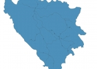
Bosnia and Herzegovina Map - SVG Vector
Interactive Map of Bosnia and Herzegovina
Bosnia and Herzegovina is a Republic founded in 1992 and located in the area of Europe, with a land area of 51130 km² and population density of 65 people per km². Territory of Bosnia and Herzegovina borders Croatia, Montenegro, Serbia. Gross domestic product (GDP) is of about 188700 millions of dollars dollars.
Geography of Bosnia and Herzegovina
Maglić is the highest point in Bosnia and Herzegovina at an altitude of 2386 meters, instead the lowest point in the country is Adriatic Sea at sea level.
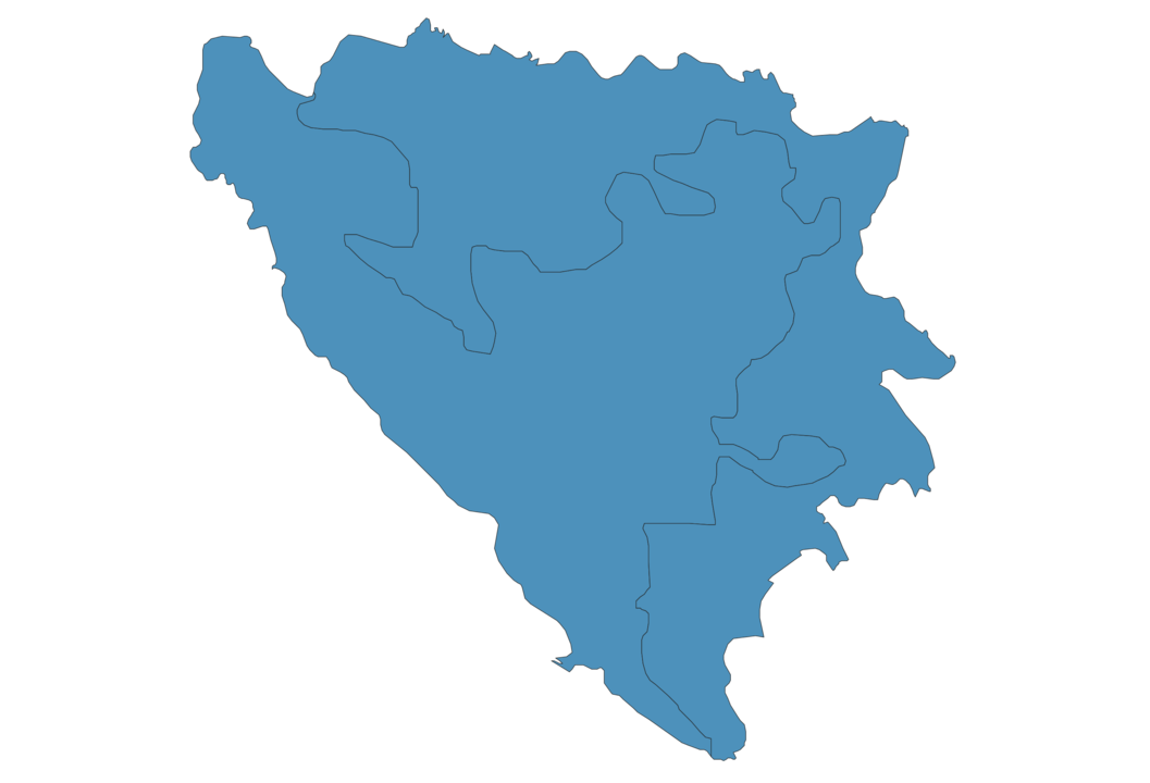
Simple Maps of Bosnia and Herzegovina
Here are the best maps of Bosnia and Herzegovina at high resolution. Below you find printable maps showing Bosnia and Herzegovina in different styles and positions.

Frequently asked questions about Bosnia and Herzegovina
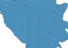
How is Bosnia and Herzegovina divided?
If you are looking for regions or provinces in Bosnia and Herzegovina, here are all the main areas:
- Federacija Bosna i Hercegovina
- Repuplika Srpska
What are the main points of interest in Bosnia and Herzegovina?
The major tourist attractions in Bosnia and Herzegovina are Old Bridge, Kravice Waterfall, Baščaršija, Sarajevo Tunnel, Gazi Husrev-beg Mosque, Jahorina, Bjelašnica, Sutjeska National Park, Latin Bridge.
What is the flag of Bosnia and Herzegovina?
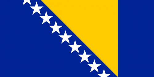
Flag of Bosnia and Herzegovina
What is the capital of Bosnia and Herzegovina?
The main city and capital of Bosnia and Herzegovina is Sarajevo.
What is the currency in Bosnia and Herzegovina?
Official currency of Bosnia and Herzegovina is Marka.
What is the population of Bosnia and Herzegovina?
In Bosnia and Herzegovina there are 3324000 people.
What is international phone code in Bosnia and Herzegovina?
Bosnia and Herzegovina telephone code is 387.
Other Country Maps in Europe
Get Full Access
1) Access Map Editor
(create interactive maps)
2) Get 230+ country flags
(100% licensed vectors and images)
3) Get 230+ country maps
(100% licensed vectors and images) Get Full AccessOnly $4/month ($47 for 1 year)
After expiration, you have full licenses of all your downloads forever.