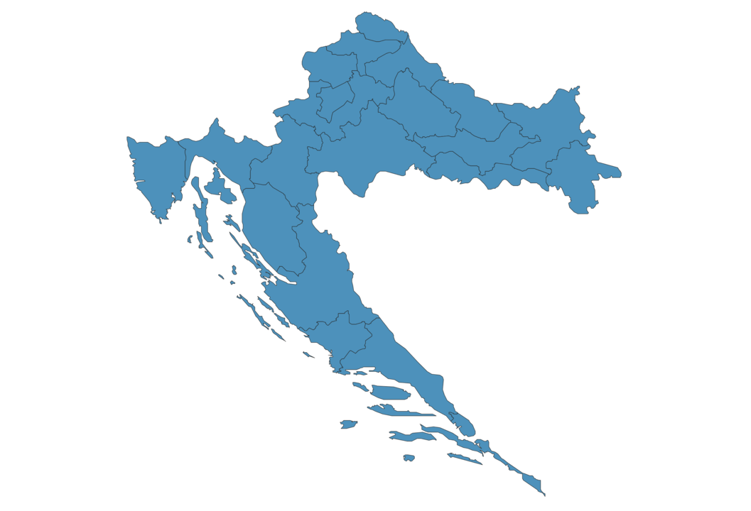
Croatia Map - SVG Vector
Interactive Map of Croatia
Croatia is a Republic founded in 1991 and located in the area of Europe, with a land area of 56543 km² and population density of 73 people per km². Territory of Croatia borders Bosnia and Herzegovina, Hungary, Montenegro, Serbia, Slovenia. Gross domestic product (GDP) is of about 591400 millions of dollars dollars.
Geography of Croatia
Dinara is the highest point in Croatia at an altitude of 1831 meters, instead the lowest point in the country is Adriatic Sea at sea level.
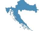
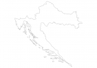
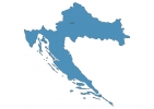
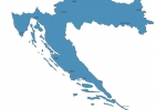
Simple Maps of Croatia
Here are the best maps of Croatia at high resolution. Below you find printable maps showing Croatia in different styles and positions.

Frequently asked questions about Croatia
How is Croatia divided?
If you are looking for regions or provinces in Croatia, here are all the main areas:
- Jugovzhodna Slovenija
What are the main points of interest in Croatia?
The major tourist attractions in Croatia are Plitvice Lakes National Park, Krka National Park, Diocletian’s Palace, Walls of Dubrovnik, Golden Horn, Lokrum, Stradun, Krka, Kvarner Gulf.
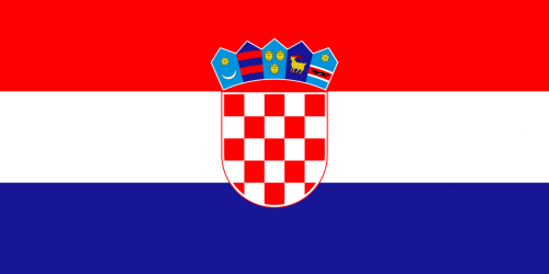
What is the flag of Croatia?
What is the capital of Croatia?
The main city and capital of Croatia is Zagreb.
What is the currency in Croatia?
Official currency of Croatia is Kuna.
What is the population of Croatia?
In Croatia there are 4103000 people.
What is international phone code in Croatia?
Croatia telephone code is 385.
Other Country Maps in Europe
Get Full Access
1) Access Map Editor
(create interactive maps)
2) Get 230+ country flags
(100% licensed vectors and images)
3) Get 230+ country maps
(100% licensed vectors and images) Get Full AccessOnly $4/month ($47 for 1 year)
After expiration, you have full licenses of all your downloads forever.