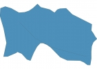
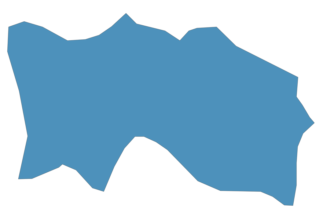
Jersey Map - SVG Vector
Interactive Map of Jersey
Jersey is a Constitutional monarchy founded in 1787 and located in the area of Europe, with a land area of 117 km² and population density of 889 people per km². Territory of Jersey borders the sea. Gross domestic product (GDP) is of about 510000 millions of dollars dollars.
Geography of Jersey
Les Platons is the highest point in Jersey at an altitude of 143 meters, instead the lowest point in the country is English Channel at sea level.
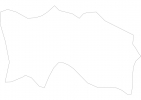
Simple Maps of Jersey
Here are the best maps of Jersey at high resolution. Below you find printable maps showing Jersey in different styles and positions.

Frequently asked questions about Jersey
How is Jersey divided?
If you are looking for regions or provinces in Jersey, here are all the main areas:
- Jersey
What are the main points of interest in Jersey?
The major tourist attractions in Jersey are Six Flags Great Adventure, Liberty State Park, George Washington Bridge, Hard Rock Hotel Casino Atlantic City, Morey’s Piers & Beachfront Water Parks, Adventure Aquarium, Steel Pier, Borgata, Atlantic City Boardwalk.
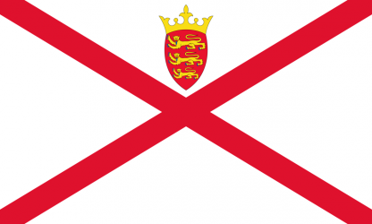
What is the flag of Jersey?
What is the capital of Jersey?
The main city and capital of Jersey is Saint Helier.
What is the currency in Jersey?
Official currency of Jersey is Pound.
What is the population of Jersey?
In Jersey there are 104000 people.
What is international phone code in Jersey?
Jersey telephone code is 44-1534.
Other Country Maps in Europe
Get Full Access
1) Access Map Editor
(create interactive maps)
2) Get 230+ country flags
(100% licensed vectors and images)
3) Get 230+ country maps
(100% licensed vectors and images) Get Full AccessOnly $4/month ($47 for 1 year)
After expiration, you have full licenses of all your downloads forever.