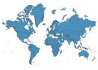
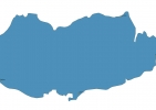
Cyprus Map - SVG Vector
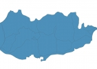
Interactive Map of Cyprus
Cyprus is a Republic founded in 1959 and located in the area of Europe, with a land area of 9251 km² and population density of 131 people per km². Territory of Cyprus borders Akrotiri and Dhekelia. Gross domestic product (GDP) is of about 217800 millions of dollars dollars.
Geography of Cyprus
Mount Olympus is the highest point in Cyprus at an altitude of 1951 meters, instead the lowest point in the country is Mediterranean Sea at sea level.
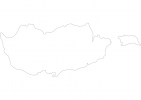
Simple Maps of Cyprus
Here are the best maps of Cyprus at high resolution. Below you find printable maps showing Cyprus in different styles and positions.
Frequently asked questions about Cyprus
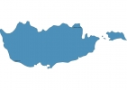
How is Cyprus divided?
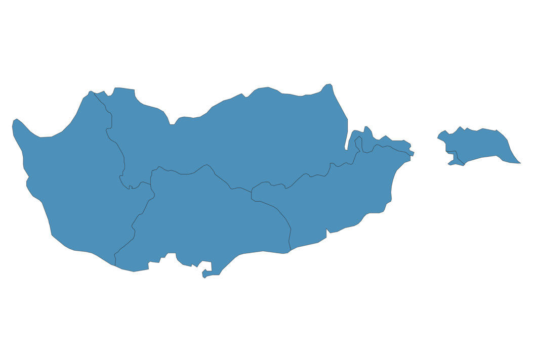
If you are looking for regions or provinces in Cyprus, here are all the main areas:
- Famagusta
- Nicosia
- Larnaca
- Limassol
- Paphos
What are the main points of interest in Cyprus?
The major tourist attractions in Cyprus are Petra tou Romiou, Tombs of the Kings, Nissi Beach, Cape Greco, Coral Bay, Nea Paphos, Akamas, Church of Saint Lazarus, Kykkos Monastery.
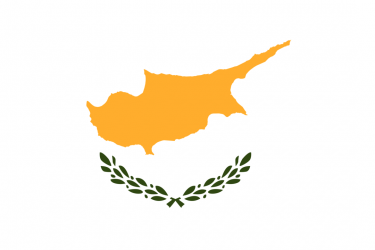
What is the flag of Cyprus?
What is the capital of Cyprus?
The main city and capital of Cyprus is Nicosia.
What is the currency in Cyprus?
Official currency of Cyprus is Euro.
What is the population of Cyprus?
In Cyprus there are 1208200 people.
What is international phone code in Cyprus?
Cyprus telephone code is 357.
Other Country Maps in Europe
Get Full Access
1) Access Map Editor
(create interactive maps)
2) Get 230+ country flags
(100% licensed vectors and images)
3) Get 230+ country maps
(100% licensed vectors and images) Get Full AccessOnly $4/month ($47 for 1 year)
After expiration, you have full licenses of all your downloads forever.