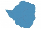
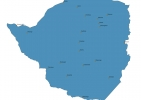
Zimbabwe Map - SVG Vector
Interactive Map of Zimbabwe
Zimbabwe is a Republic founded in 1980 and located in the area of Africa, with a land area of 390581 km² and population density of 38 people per km². Territory of Zimbabwe borders Botswana, Mozambique, South Africa, Zambia. Gross domestic product (GDP) is of about 104800 millions of dollars dollars.
Geography of Zimbabwe
Mount Nyangani is the highest point in Zimbabwe at an altitude of 2592 meters, instead the lowest point in the country is Runde River at 162 m.
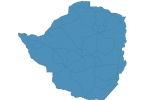
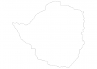
Simple Maps of Zimbabwe
Here are the best maps of Zimbabwe at high resolution. Below you find printable maps showing Zimbabwe in different styles and positions.

Frequently asked questions about Zimbabwe
How is Zimbabwe divided?
If you are looking for regions or provinces in Zimbabwe, here are all the main areas:
- Matabeleland North
- Matabeleland South
- Masvingo
- Mashonaland West
- Mashonaland Central
- Mashonaland East
- Manicaland
- Midlands
- Harare
- Bulawayo
What are the main points of interest in Zimbabwe?
The major tourist attractions in Zimbabwe are Hwange National Park, Mana Pools National Park, Matobo National Park, Great Zimbabwe, Victoria Falls National Park, Victoria Falls Bridge, South Gonarezhou National Park, Matusadona National Park, Devils Pool Victoria Falls.
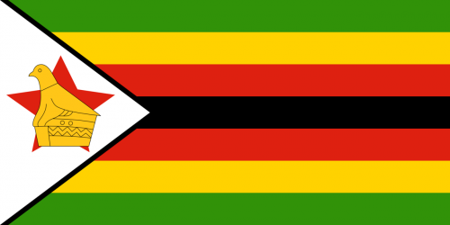
What is the flag of Zimbabwe?
What is the capital of Zimbabwe?
The main city and capital of Zimbabwe is Harare.
What is the currency in Zimbabwe?
Official currency of Zimbabwe is Dollar.
What is the population of Zimbabwe?
In Zimbabwe there are 14883100 people.
What is international phone code in Zimbabwe?
Zimbabwe telephone code is 263.
Other Country Maps in Africa
Get Full Access
1) Access Map Editor
(create interactive maps)
2) Get 230+ country flags
(100% licensed vectors and images)
3) Get 230+ country maps
(100% licensed vectors and images) Get Full AccessOnly $4/month ($47 for 1 year)
After expiration, you have full licenses of all your downloads forever.