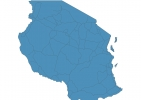
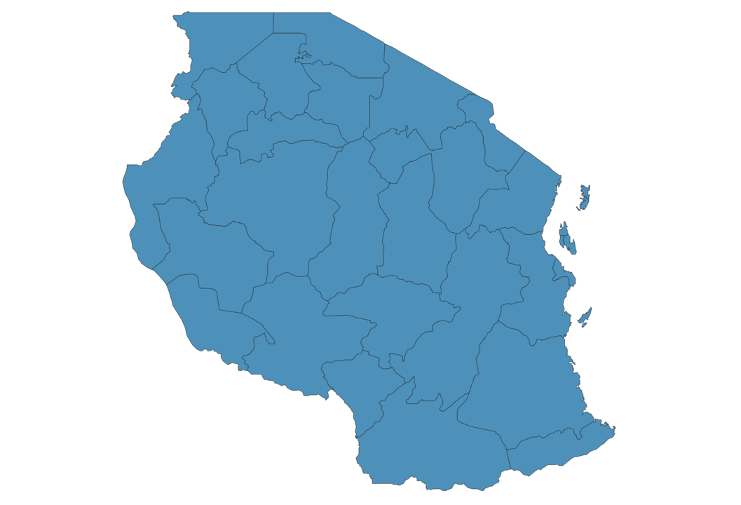
Tanzania Map - SVG Vector
Interactive Map of Tanzania
Tanzania is a Republic founded in 1961 and located in the area of Africa, with a land area of 945088 km² and population density of 63 people per km². Territory of Tanzania borders Burundi, Democratic Republic of the Congo, Kenya, Malawi, Mozambique, Rwanda, Uganda, Zambia. Gross domestic product (GDP) is of about 319400 millions of dollars dollars.
Geography of Tanzania
Kilimanjaro is the highest point in Tanzania at an altitude of 5892 meters, instead the lowest point in the country is Indian Ocean at sea level.
Simple Maps of Tanzania
Here are the best maps of Tanzania at high resolution. Below you find printable maps showing Tanzania in different styles and positions.

Frequently asked questions about Tanzania
How is Tanzania divided?
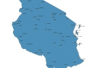
If you are looking for regions or provinces in Tanzania, here are all the main areas:
- Mbeya
- Njombe
- Ruvuma
- Kigoma
- Katavi
- Rukwa
- Kagera
- Mtwara
- Mara
- Arusha
- Kilimanjaro
- Tanga
- Lindi
- Pwani
- Dar-Es-Salaam
- Zanzibar South and Central
- Kaskazini-Unguja
- Zanzibar West
- Kusini-Pemba
- Kaskazini-Pemba
- Morogoro
- Dodoma
- Manyara
- Singida
- Tabora
- Iringa
- Mwanza
- Simiyu
- Geita
- Shinyanga
What are the main points of interest in Tanzania?
The major tourist attractions in Tanzania are Mount Kilimanjaro, Ngorongoro Conservation Area, Serengeti National Park, Tarangire National Park, Lake Manyara National Park, Selous Mapumziko Lodge, Arusha National Park, Mount Meru, Changu Island.
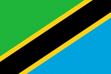
What is the flag of Tanzania?
What is the capital of Tanzania?
The main city and capital of Tanzania is Dodoma.
What is the currency in Tanzania?
Official currency of Tanzania is Shilling.
What is the population of Tanzania?
In Tanzania there are 59895200 people.
What is international phone code in Tanzania?
Tanzania telephone code is 255.
Other Country Maps in Africa
Get Full Access
1) Access Map Editor
(create interactive maps)
2) Get 230+ country flags
(100% licensed vectors and images)
3) Get 230+ country maps
(100% licensed vectors and images) Get Full AccessOnly $4/month ($47 for 1 year)
After expiration, you have full licenses of all your downloads forever.