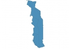
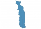
Togo Map - SVG Vector
Interactive Map of Togo
Togo is a Republic founded in 1960 and located in the area of Africa, with a land area of 56786 km² and population density of 139 people per km². Territory of Togo borders Benin, Burkina Faso, Ghana. Gross domestic product (GDP) is of about 429900 millions of dollars dollars.
Geography of Togo
Mont Agou is the highest point in Togo at an altitude of 986 meters, instead the lowest point in the country is Bight of Benin at sea level.
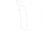
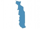
Simple Maps of Togo
Here are the best maps of Togo at high resolution. Below you find printable maps showing Togo in different styles and positions.
Frequently asked questions about Togo
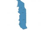
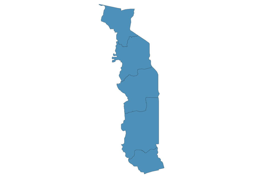
How is Togo divided?
If you are looking for regions or provinces in Togo, here are all the main areas:
- Savanes
- Kara
- Centre
- Plateaux
- Maritime
What are the main points of interest in Togo?
The major tourist attractions in Togo are Koutammakou, Akodessewa Fetish Market, Lake Togo, Lomé Grand Market, Fazao-Malfakassa National Park, Mount Agou, Kran National Park, Togo National Museum, Togo Mountains.
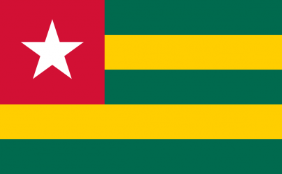
What is the flag of Togo?
What is the capital of Togo?
The main city and capital of Togo is Lome.
What is the currency in Togo?
Official currency of Togo is Franc.
What is the population of Togo?
In Togo there are 7889000 people.
What is international phone code in Togo?
Togo telephone code is 228.
Other Country Maps in Africa
Get Full Access
1) Access Map Editor
(create interactive maps)
2) Get 230+ country flags
(100% licensed vectors and images)
3) Get 230+ country maps
(100% licensed vectors and images) Get Full AccessOnly $4/month ($47 for 1 year)
After expiration, you have full licenses of all your downloads forever.