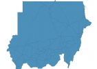
Sudan Map - SVG Vector
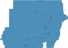
Interactive Map of Sudan
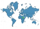
Sudan is a Republic founded in 1899 and located in the area of Africa, with a land area of 1861485 km² and population density of 24 people per km². Territory of Sudan borders Central African Republic, Chad, Egypt, Eritrea, Ethiopia, Libya, South Sudan. Gross domestic product (GDP) is of about 525000 millions of dollars dollars.
Geography of Sudan
Deriba Caldera is the highest point in Sudan at an altitude of 3042 meters, instead the lowest point in the country is Red Sea at sea level.
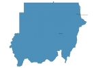
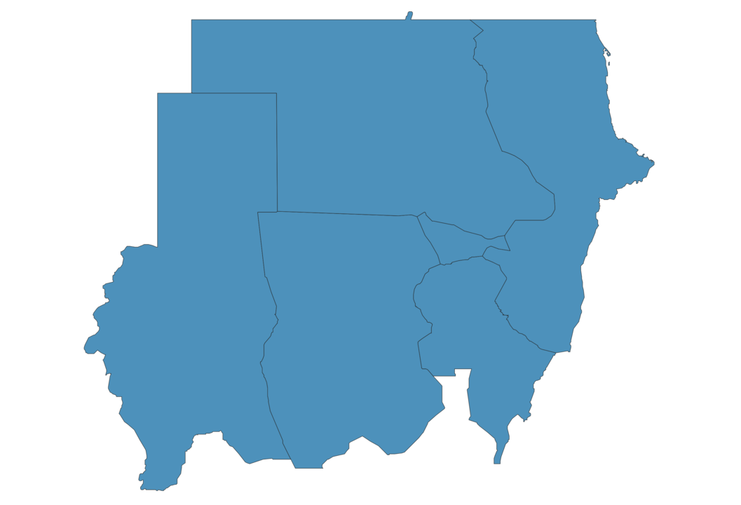
Simple Maps of Sudan
Here are the best maps of Sudan at high resolution. Below you find printable maps showing Sudan in different styles and positions.

Frequently asked questions about Sudan
How is Sudan divided?
If you are looking for regions or provinces in Sudan, here are all the main areas:
- Blue Nile
- Darfur
- Kassala
- Khartum
- Kordofan
- Northern
What are the main points of interest in Sudan?
The major tourist attractions in Sudan are Jebel Barkal, Sudan National Museum, Nubian Pyramids, Tuti Island, Dungonab Bay, Nile Street, Nuba Mountains, Khaniq as Sablukah, Al-Musawwarat as-Safra.
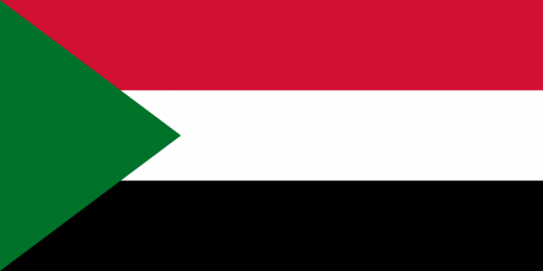
What is the flag of Sudan?
What is the capital of Sudan?
The main city and capital of Sudan is Khartoum.
What is the currency in Sudan?
Official currency of Sudan is Pound.
What is the population of Sudan?
In Sudan there are 43945400 people.
What is international phone code in Sudan?
Sudan telephone code is 249.
Other Country Maps in Africa
Get Full Access
1) Access Map Editor
(create interactive maps)
2) Get 230+ country flags
(100% licensed vectors and images)
3) Get 230+ country maps
(100% licensed vectors and images) Get Full AccessOnly $4/month ($47 for 1 year)
After expiration, you have full licenses of all your downloads forever.