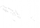
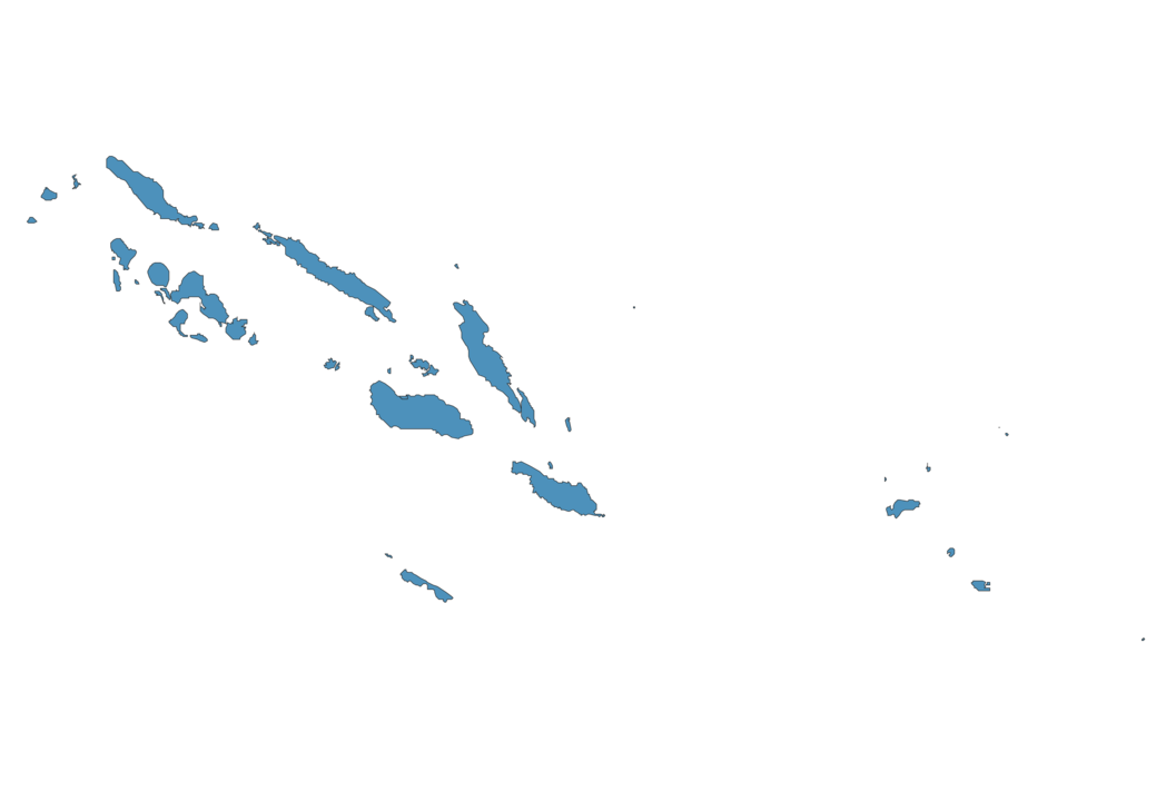
Solomon Islands Map - SVG Vector
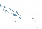
Interactive Map of Solomon Islands
Solomon Islands is a Constitutional monarchy founded in 1978 and located in the area of Oceania, with a land area of 28451 km² and population density of 23 people per km². Territory of Solomon Islands borders the sea. Gross domestic product (GDP) is of about 109900 millions of dollars dollars.
Geography of Solomon Islands
Mount Popomanaseu on Guadalcanal is the highest point in Solomon Islands at an altitude of 2335 meters, instead the lowest point in the country is South Pacific Ocean at sea level.
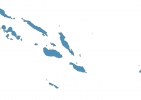
Simple Maps of Solomon Islands
Here are the best maps of Solomon Islands at high resolution. Below you find printable maps showing Solomon Islands in different styles and positions.
Frequently asked questions about Solomon Islands
How is Solomon Islands divided?
If you are looking for regions or provinces in Solomon Islands, here are all the main areas:
- Rennell and Bellona
- Makira
- Temotu
- Malaita
- Capital Territory (Honiara)
- Guadalcanal
- Central
- Western
- Isabel
- Choiseul
What are the main points of interest in Solomon Islands?
The major tourist attractions in Solomon Islands are Uepi, Tulagi Island, Kasolo Island, Tavanipupu, Kavachi, Marovo Island, Lola Island, Papatura Island, Lunga Point.
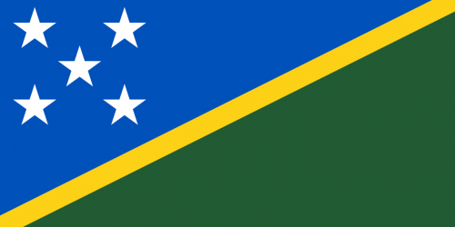
What is the flag of Solomon Islands?
What is the capital of Solomon Islands?
The main city and capital of Solomon Islands is Honiara.
What is the currency in Solomon Islands?
Official currency of Solomon Islands is Dollar.
What is the population of Solomon Islands?
In Solomon Islands there are 654000 people.
What is international phone code in Solomon Islands?
Solomon Islands telephone code is 677.
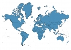
Other Country Maps in Oceania
Get Full Access
1) Access Map Editor
(create interactive maps)
2) Get 230+ country flags
(100% licensed vectors and images)
3) Get 230+ country maps
(100% licensed vectors and images) Get Full AccessOnly $4/month ($47 for 1 year)
After expiration, you have full licenses of all your downloads forever.