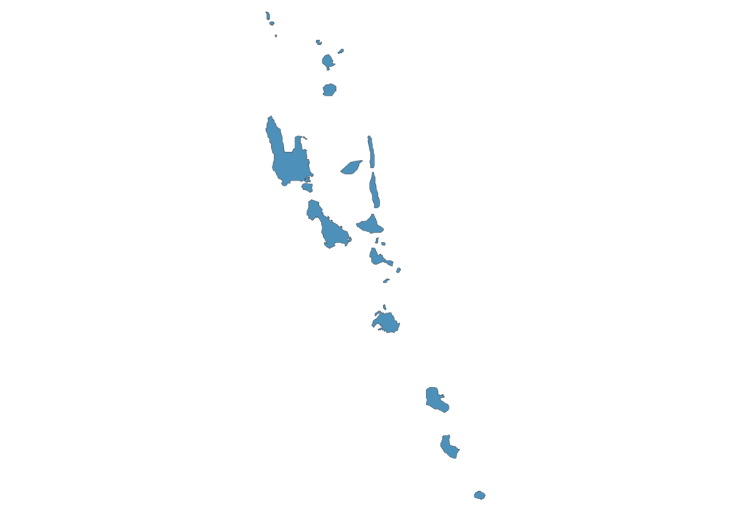
Vanuatu Map - SVG Vector
Interactive Map of Vanuatu
Vanuatu is a Republic founded in 1980 and located in the area of Oceania, with a land area of 12191 km² and population density of 25 people per km². Territory of Vanuatu borders the sea. Gross domestic product (GDP) is of about 914300 millions of dollars dollars.
Geography of Vanuatu
Mount Tabwemasana on Espiritu Santo is the highest point in Vanuatu at an altitude of 1877 meters, instead the lowest point in the country is South Pacific Ocean at sea level.
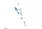
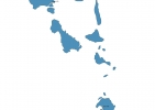
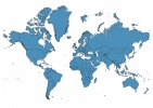
Simple Maps of Vanuatu
Here are the best maps of Vanuatu at high resolution. Below you find printable maps showing Vanuatu in different styles and positions.
Frequently asked questions about Vanuatu
How is Vanuatu divided?
If you are looking for regions or provinces in Vanuatu, here are all the main areas:
- Tafea
- Shefa
- Malampa
- Sanma
- Penama
- Torba
What are the main points of interest in Vanuatu?
The major tourist attractions in Vanuatu are Mount Yasur, Champagne Beach, Hideaway, Iririki Island, Millenium Cave, Million Dollar Point, Mystery Island, Eton Beach, Lelepa.
What is the flag of Vanuatu?
What is the capital of Vanuatu?
The main city and capital of Vanuatu is Port Vila.
What is the currency in Vanuatu?
Official currency of Vanuatu is Vatu.
What is the population of Vanuatu?
In Vanuatu there are 307900 people.
What is international phone code in Vanuatu?
Vanuatu telephone code is 678.
Other Country Maps in Oceania
Get Full Access
1) Access Map Editor
(create interactive maps)
2) Get 230+ country flags
(100% licensed vectors and images)
3) Get 230+ country maps
(100% licensed vectors and images) Get Full AccessOnly $4/month ($47 for 1 year)
After expiration, you have full licenses of all your downloads forever.