Tonga Map - SVG Vector
Interactive Map of Tonga
Tonga is a Constitutional monarchy founded in 1970 and located in the area of Oceania, with a land area of 749 km² and population density of 141 people per km². Territory of Tonga borders the sea. Gross domestic product (GDP) is of about 477000 millions of dollars dollars.
Geography of Tonga
Kao is the highest point in Tonga at an altitude of 1033 meters, instead the lowest point in the country is South Pacific Ocean at sea level.
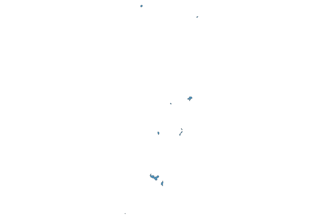
Simple Maps of Tonga
Here are the best maps of Tonga at high resolution. Below you find printable maps showing Tonga in different styles and positions.


Frequently asked questions about Tonga
How is Tonga divided?
If you are looking for regions or provinces in Tonga, here are all the main areas:
- Vava’u
- Eua
- Tongatapu
- Ha’apai
- Niuas
What are the main points of interest in Tonga?
The major tourist attractions in Tonga are Ha’amonga ‘a Maui Trilithon, Hunga Tonga, Ha’atafu Beach, Anahulu Cave, Pangaimotu Island, Fafa Island, Uoleva, Ene’io Botanical Garden, Talamahu Market.
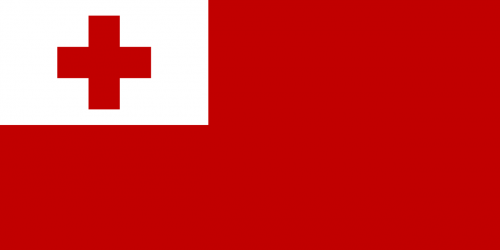
What is the flag of Tonga?
What is the capital of Tonga?
The main city and capital of Tonga is Nuku’alofa.
What is the currency in Tonga?
Official currency of Tonga is Pa’anga.
What is the population of Tonga?
In Tonga there are 105900 people.
What is international phone code in Tonga?
Tonga telephone code is 676.
Other Country Maps in Oceania
Get Full Access
1) Access Map Editor
(create interactive maps)
2) Get 230+ country flags
(100% licensed vectors and images)
3) Get 230+ country maps
(100% licensed vectors and images) Get Full AccessOnly $4/month ($47 for 1 year)
After expiration, you have full licenses of all your downloads forever.