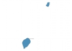
Sao Tome and Principe Map - SVG Vector
Interactive Map of Sao Tome and Principe
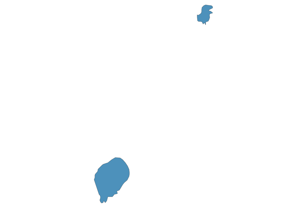
Sao Tome and Principe is a Constitutional democracy founded in 1975 and located in the area of Africa, with a land area of 1002 km² and population density of 211 people per km². Territory of Sao Tome and Principe borders Equatorial Guinea. Gross domestic product (GDP) is of about 311000 millions of dollars dollars.
Geography of Sao Tome and Principe
Pico de São Tomé on São Tomé Island is the highest point in Sao Tome and Principe at an altitude of 2024 meters, instead the lowest point in the country is Gulf of Guinea at sea level.
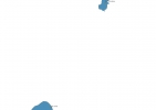
Simple Maps of Sao Tome and Principe
Here are the best maps of Sao Tome and Principe at high resolution. Below you find printable maps showing Sao Tome and Principe in different styles and positions.


Frequently asked questions about Sao Tome and Principe
How is Sao Tome and Principe divided?
If you are looking for regions or provinces in Sao Tome and Principe, here are all the main areas:
- São Tomé
- Príncipe
What are the main points of interest in Sao Tome and Principe?
The major tourist attractions in Sao Tome and Principe are Rolas Island, Cão Grande Peak, Pico de Sao Tome, Obo National Park, Bom Bom Island, São Sebastião Museum, Roça Sundy, Lagoa Azul, Praia Jale.
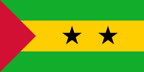
What is the flag of Sao Tome and Principe?
What is the capital of Sao Tome and Principe?
The main city and capital of Sao Tome and Principe is Sao Tome.
What is the currency in Sao Tome and Principe?
Official currency of Sao Tome and Principe is Dobra.
What is the population of Sao Tome and Principe?
In Sao Tome and Principe there are 211000 people.
What is international phone code in Sao Tome and Principe?
Sao Tome and Principe telephone code is 239.
Other Country Maps in Africa
Get Full Access
1) Access Map Editor
(create interactive maps)
2) Get 230+ country flags
(100% licensed vectors and images)
3) Get 230+ country maps
(100% licensed vectors and images) Get Full AccessOnly $4/month ($47 for 1 year)
After expiration, you have full licenses of all your downloads forever.