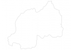
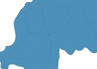
Rwanda Map - SVG Vector
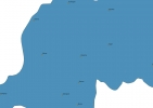
Interactive Map of Rwanda
Rwanda is a Republic founded in 1962 and located in the area of Africa, with a land area of 26339 km² and population density of 493 people per km². Territory of Rwanda borders Burundi, Democratic Republic of the Congo, Tanzania, Uganda. Gross domestic product (GDP) is of about 770000 millions of dollars dollars.
Geography of Rwanda
Mount Karisimbi is the highest point in Rwanda at an altitude of 4507 meters, instead the lowest point in the country is Ruzizi River at 950 m.
Simple Maps of Rwanda
Here are the best maps of Rwanda at high resolution. Below you find printable maps showing Rwanda in different styles and positions.

Frequently asked questions about Rwanda
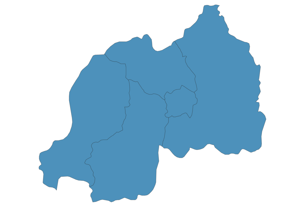
How is Rwanda divided?
If you are looking for regions or provinces in Rwanda, here are all the main areas:
- Eastern
- Southern
- Western
- Northern
- Kigali City
What are the main points of interest in Rwanda?
The major tourist attractions in Rwanda are Volcanoes National Park, Nyungwe Forest National Park, Mount Karisimbi, Mount Bisoke, Gahinga Volcano, Kigali Genocide Memorial, Lake Burera, Lake Ruhondo, Lake Ihema.
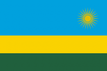
What is the flag of Rwanda?
What is the capital of Rwanda?
The main city and capital of Rwanda is Kigali.
What is the currency in Rwanda?
Official currency of Rwanda is Franc.
What is the population of Rwanda?
In Rwanda there are 12982500 people.
What is international phone code in Rwanda?
Rwanda telephone code is 250.
Other Country Maps in Africa
Get Full Access
1) Access Map Editor
(create interactive maps)
2) Get 230+ country flags
(100% licensed vectors and images)
3) Get 230+ country maps
(100% licensed vectors and images) Get Full AccessOnly $4/month ($47 for 1 year)
After expiration, you have full licenses of all your downloads forever.