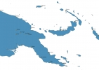
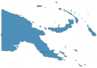
Papua New Guinea Map - SVG Vector
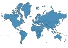
Interactive Map of Papua New Guinea
Papua New Guinea is a Constitutional monarchy founded in 1975 and located in the area of Oceania, with a land area of 462841 km² and population density of 19 people per km². Territory of Papua New Guinea borders Indonesia. Gross domestic product (GDP) is of about 24970 millions of dollars dollars.
Geography of Papua New Guinea
Mount Wilhelm is the highest point in Papua New Guinea at an altitude of 4509 meters, instead the lowest point in the country is South Pacific Ocean at sea level.
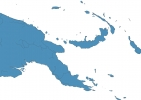
Simple Maps of Papua New Guinea
Here are the best maps of Papua New Guinea at high resolution. Below you find printable maps showing Papua New Guinea in different styles and positions.
Frequently asked questions about Papua New Guinea
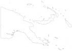
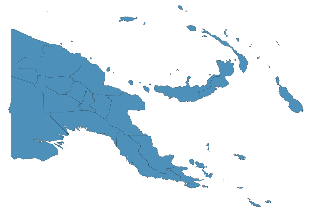
How is Papua New Guinea divided?
If you are looking for regions or provinces in Papua New Guinea, here are all the main areas:
- Sandaun
- Western
- East Sepik
- Madang
- Morobe
- Northern
- Milne Bay
- Central
- National Capital District
- Gulf
- North Solomons
- West New Britain
- East New Britain
- New Ireland
- Manus
- Chimbu
- Enga
- Western Highlands
- Southern Highlands
- Eastern Highlands
What are the main points of interest in Papua New Guinea?
The major tourist attractions in Papua New Guinea are Kokoda Track, Mount Wilhelm, Tavurvur, Kimbe Bay, Mount Giluwe, Port Moresby Nature Park, Samarai Island, Kuk Swamp, Duke of York Islands.
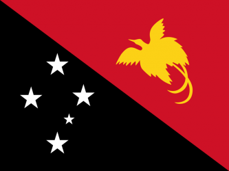
What is the flag of Papua New Guinea?
What is the capital of Papua New Guinea?
The main city and capital of Papua New Guinea is Port Moresby.
What is the currency in Papua New Guinea?
Official currency of Papua New Guinea is Kina.
What is the population of Papua New Guinea?
In Papua New Guinea there are 8962900 people.
What is international phone code in Papua New Guinea?
Papua New Guinea telephone code is 675.
Other Country Maps in Oceania
Get Full Access
1) Access Map Editor
(create interactive maps)
2) Get 230+ country flags
(100% licensed vectors and images)
3) Get 230+ country maps
(100% licensed vectors and images) Get Full AccessOnly $4/month ($47 for 1 year)
After expiration, you have full licenses of all your downloads forever.