Northern Mariana Islands Map - SVG Vector
Interactive Map of Northern Mariana Islands
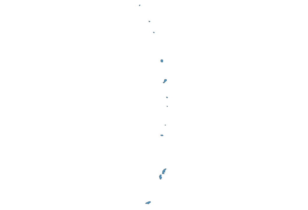
Northern Mariana Islands is a Representative democracy founded in 1975 and located in the area of Oceania, with a land area of 478 km² and population density of 121 people per km². Territory of Northern Mariana Islands borders Pacific ocean. Gross domestic product (GDP) is of about 733000 millions of dollars dollars.
Geography of Northern Mariana Islands
Mount Agrihan on Agrihan is the highest point in Northern Mariana Islands at an altitude of 965 meters, instead the lowest point in the country is North Pacific Ocean at sea level.
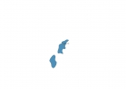
Simple Maps of Northern Mariana Islands
Here are the best maps of Northern Mariana Islands at high resolution. Below you find printable maps showing Northern Mariana Islands in different styles and positions.

Frequently asked questions about Northern Mariana Islands
How is Northern Mariana Islands divided?
If you are looking for regions or provinces in Northern Mariana Islands, here are all the main areas:
- Rota
- Tinian
- Saipan
- Northern Islands
What are the main points of interest in Northern Mariana Islands?
The major tourist attractions in Northern Mariana Islands are Suicide Cliff, Mount Tapochau, The Grotto, Banzai Cliff, American Memorial Park, Micro Beach, T Galleria by DFS, Bird Island, Paseo de Susana.
What is the flag of Northern Mariana Islands?
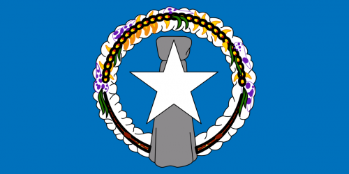
Flag of Northern Mariana Islands
What is the capital of Northern Mariana Islands?
The main city and capital of Northern Mariana Islands is Saipan.
What is the currency in Northern Mariana Islands?
Official currency of Northern Mariana Islands is Dollar.
What is the population of Northern Mariana Islands?
In Northern Mariana Islands there are 57600 people.
What is international phone code in Northern Mariana Islands?
Northern Mariana Islands telephone code is 1-670.
Other Country Maps in Oceania
Get Full Access
1) Access Map Editor
(create interactive maps)
2) Get 230+ country flags
(100% licensed vectors and images)
3) Get 230+ country maps
(100% licensed vectors and images) Get Full AccessOnly $4/month ($47 for 1 year)
After expiration, you have full licenses of all your downloads forever.