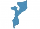
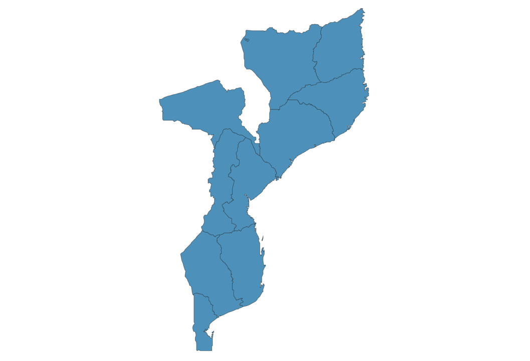
Mozambique Map - SVG Vector
Interactive Map of Mozambique
Mozambique is a Republic founded in 1975 and located in the area of Africa, with a land area of 801591 km² and population density of 39 people per km². Territory of Mozambique borders Eswatini, Malawi, South Africa, Tanzania, Zambia, Zimbabwe. Gross domestic product (GDP) is of about 146700 millions of dollars dollars.
Geography of Mozambique
Monte Binga is the highest point in Mozambique at an altitude of 2436 meters, instead the lowest point in the country is Mozambique Channel at sea level.
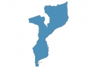
Simple Maps of Mozambique
Here are the best maps of Mozambique at high resolution. Below you find printable maps showing Mozambique in different styles and positions.

Frequently asked questions about Mozambique
How is Mozambique divided?
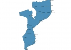
If you are looking for regions or provinces in Mozambique, here are all the main areas:
- Maputo
- Cabo Delgado
- Niassa
- Tete
- Manica
- Gaza
- Zambezia
- Maputo
- Inhambane
- Sofala
- Nampula
What are the main points of interest in Mozambique?
The major tourist attractions in Mozambique are Island of Mozambique, Benguerra Island, Gorongosa National Park, Ibo Island, Limpopo National Park, Medjumbe Island, Bazaruto Archipelago National Marine Park, Quirimbas National Park, Portuguese Island.
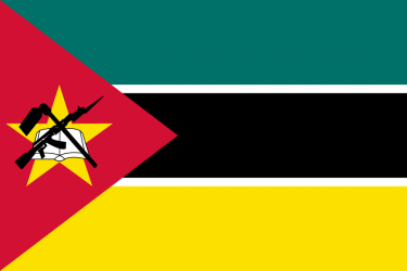
What is the flag of Mozambique?
What is the capital of Mozambique?
The main city and capital of Mozambique is Maputo.
What is the currency in Mozambique?
Official currency of Mozambique is Metical.
What is the population of Mozambique?
In Mozambique there are 31338200 people.
What is international phone code in Mozambique?
Mozambique telephone code is 258.
Other Country Maps in Africa
Get Full Access
1) Access Map Editor
(create interactive maps)
2) Get 230+ country flags
(100% licensed vectors and images)
3) Get 230+ country maps
(100% licensed vectors and images) Get Full AccessOnly $4/month ($47 for 1 year)
After expiration, you have full licenses of all your downloads forever.