Mauritius Map - SVG Vector
Interactive Map of Mauritius
Mauritius is a Republic founded in 1968 and located in the area of Africa, with a land area of 2041 km² and population density of 623 people per km². Territory of Mauritius borders the sea. Gross domestic product (GDP) is of about 119000 millions of dollars dollars.
Geography of Mauritius
Piton de la Petite Rivière Noire is the highest point in Mauritius at an altitude of 828 meters, instead the lowest point in the country is Indian Ocean at sea level.
Simple Maps of Mauritius
Here are the best maps of Mauritius at high resolution. Below you find printable maps showing Mauritius in different styles and positions.

Frequently asked questions about Mauritius
How is Mauritius divided?
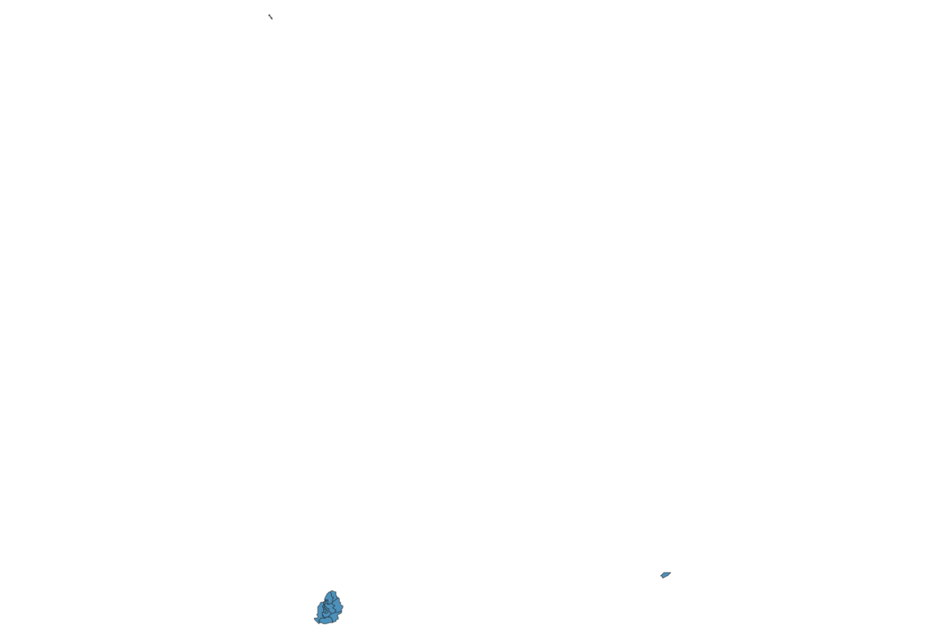
If you are looking for regions or provinces in Mauritius, here are all the main areas:
- Rivière du Rempart
- Pamplemousses
- Port Louis city
- Rivière Noire
- Savanne
- Grand Port
- Flacq
- Agaléga
- Rodrigues
- Moka
- Plaines Wilhems
- Beau Bassin-Rose Hill
- Port Louis
- Quatre Bornes
- Vacoas-Phoenix
- Curepipe
What are the main points of interest in Mauritius?
The major tourist attractions in Mauritius are Île aux Cerfs, Mauritius Island, Flic En Flac Beach, Black River Gorges National Park, Chamarel Seven Colored Earth Geopark, Le Morne Brabant, Sir Seewoosagur Ramgoolam Botanical Garden, Grand Bassin, Trou aux Cerfs.
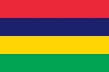
What is the flag of Mauritius?
What is the capital of Mauritius?
The main city and capital of Mauritius is Port Louis.
What is the currency in Mauritius?
Official currency of Mauritius is Rupee.
What is the population of Mauritius?
In Mauritius there are 1272000 people.
What is international phone code in Mauritius?
Mauritius telephone code is 230.
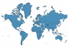
Other Country Maps in Africa
Get Full Access
1) Access Map Editor
(create interactive maps)
2) Get 230+ country flags
(100% licensed vectors and images)
3) Get 230+ country maps
(100% licensed vectors and images) Get Full AccessOnly $4/month ($47 for 1 year)
After expiration, you have full licenses of all your downloads forever.