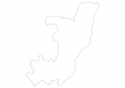
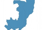
Republic of the Congo Map - SVG Vector
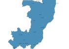
Interactive Map of Republic of the Congo
Republic of the Congo is a Republic founded in 1960 and located in the area of Africa, with a land area of 342001 km² and population density of 16 people per km². Territory of Republic of the Congo borders Angola, Cameroon, Central African Republic, Democratic Republic of the Congo, Gabon. Gross domestic product (GDP) is of about 142500 millions of dollars dollars.
Geography of Republic of the Congo
Mont Nabemba is the highest point in Republic of the Congo at an altitude of 1020 meters, instead the lowest point in the country is South Atlantic Ocean at sea level.
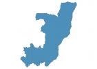
Simple Maps of Republic of the Congo
Here are the best maps of Republic of the Congo at high resolution. Below you find printable maps showing Republic of the Congo in different styles and positions.
Frequently asked questions about Republic of the Congo
How is Republic of the Congo divided?
If you are looking for regions or provinces in Republic of the Congo, here are all the main areas:
- Équateur
- Bandundu
- Kinshasa City
- Bas-Congo
- Orientale
- Sud-Kivu
- Katanga
- Nord-Kivu
- Kasaï-Occidental
- Kasaï-Oriental
- Maniema
What are the main points of interest in Republic of the Congo?
The major tourist attractions in Republic of the Congo are Virunga National Park, Mount Nyiragongo, Mount Sabyinyo, Kahuzi-Biéga National Park, Garamba National Park, Solanga National Park, Mikeno Volcano, Okapi Wildlife Reserve, Congo Rainforest.
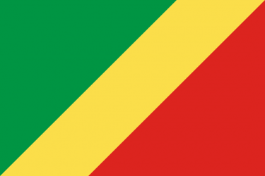
What is the flag of Republic of the Congo?
What is the capital of Republic of the Congo?
The main city and capital of Republic of the Congo is Brazzaville.
What is the currency in Republic of the Congo?
Official currency of Republic of the Congo is Franc.
What is the population of Republic of the Congo?
In Republic of the Congo there are 5518000 people.
What is international phone code in Republic of the Congo?
Republic of the Congo telephone code is 242.
Other Country Maps in Africa
Get Full Access
1) Access Map Editor
(create interactive maps)
2) Get 230+ country flags
(100% licensed vectors and images)
3) Get 230+ country maps
(100% licensed vectors and images) Get Full AccessOnly $4/month ($47 for 1 year)
After expiration, you have full licenses of all your downloads forever.