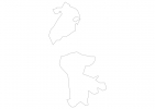
Macau Map - SVG Vector
Interactive Map of Macau
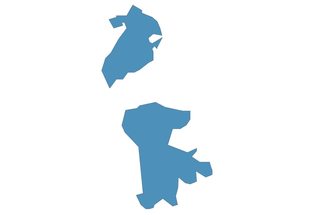
Macau is a Devolved executive-led system within a socialist republic founded in 1557 and located in the area of Asia, with a land area of 255 km² and population density of 2486 people per km². Territory of Macau borders China. Gross domestic product (GDP) is of about 516800 millions of dollars dollars.
Geography of Macau
Coloane Alto on Gau Ou Saan is the highest point in Macau at an altitude of 172 meters, instead the lowest point in the country is South China Sea at sea level.
Simple Maps of Macau
Here are the best maps of Macau at high resolution. Below you find printable maps showing Macau in different styles and positions.
Frequently asked questions about Macau
How is Macau divided?
If you are looking for regions or provinces in Macau, here are all the main areas:
- Macau
What are the main points of interest in Macau?
The major tourist attractions in Macau are Ruins of St. Paul’s, Senado Square, Macau Tower Convention and Entertainment Center, A-Ma Temple, Monte Fort, Macau Fisherman’s Wharf, Macao Museum, Lisboa Casino, St. Dominic’s Church.
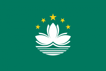
What is the flag of Macau?
What is the capital of Macau?
The main city and capital of Macau is Macao.
What is the currency in Macau?
Official currency of Macau is Pataca.
What is the population of Macau?
In Macau there are 634000 people.
What is international phone code in Macau?
Macau telephone code is 853.
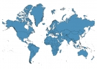
Other Country Maps in Asia
Get Full Access
1) Access Map Editor
(create interactive maps)
2) Get 230+ country flags
(100% licensed vectors and images)
3) Get 230+ country maps
(100% licensed vectors and images) Get Full AccessOnly $4/month ($47 for 1 year)
After expiration, you have full licenses of all your downloads forever.