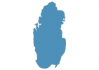
Qatar Map - SVG Vector
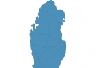
Interactive Map of Qatar
Qatar is a Absolute monarchy founded in 1971 and located in the area of Asia, with a land area of 11438 km² and population density of 252 people per km². Territory of Qatar borders Saudi Arabia. Gross domestic product (GDP) is of about 213000 millions of dollars dollars.
Geography of Qatar
Qurayn Abu al Bawl is the highest point in Qatar at an altitude of 103 meters, instead the lowest point in the country is Persian Gulf at sea level.
Simple Maps of Qatar
Here are the best maps of Qatar at high resolution. Below you find printable maps showing Qatar in different styles and positions.


Frequently asked questions about Qatar
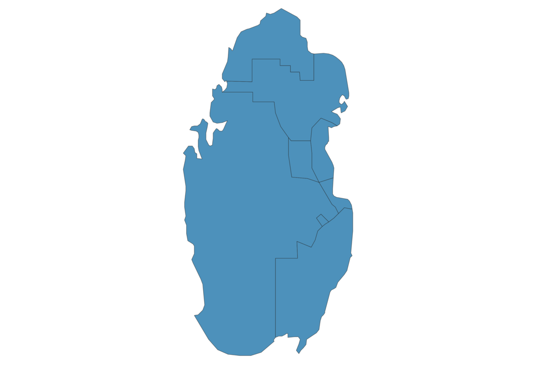
How is Qatar divided?
If you are looking for regions or provinces in Qatar, here are all the main areas:
- Ar Rayyān
- Al Wakrah
- Ad Dawhah
- Al Daayen
- Al Khawr
- Madinat ach Shamal
- Umm Salal
What are the main points of interest in Qatar?
The major tourist attractions in Qatar are Museum of Islamic Art, اناقة لندن, Doha Corniche, The Pearl-Qatar, National Museum of Qatar, Katara Cultural Village, Mathaf: Arab Museum of Modern Art, Aspire Park, Zubara Fort.
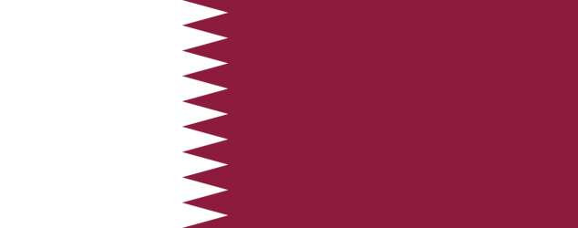
What is the flag of Qatar?
What is the capital of Qatar?
The main city and capital of Qatar is Doha.
What is the currency in Qatar?
Official currency of Qatar is Rial.
What is the population of Qatar?
In Qatar there are 2885600 people.
What is international phone code in Qatar?
Qatar telephone code is 974.
Other Country Maps in Asia
Get Full Access
1) Access Map Editor
(create interactive maps)
2) Get 230+ country flags
(100% licensed vectors and images)
3) Get 230+ country maps
(100% licensed vectors and images) Get Full AccessOnly $4/month ($47 for 1 year)
After expiration, you have full licenses of all your downloads forever.