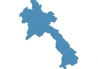
Laos Map - SVG Vector
Interactive Map of Laos
Laos is a Republic founded in 1949 and located in the area of Asia, with a land area of 236801 km² and population density of 31 people per km². Territory of Laos borders Cambodia, China, Myanmar, Thailand, Vietnam. Gross domestic product (GDP) is of about 101000 millions of dollars dollars.
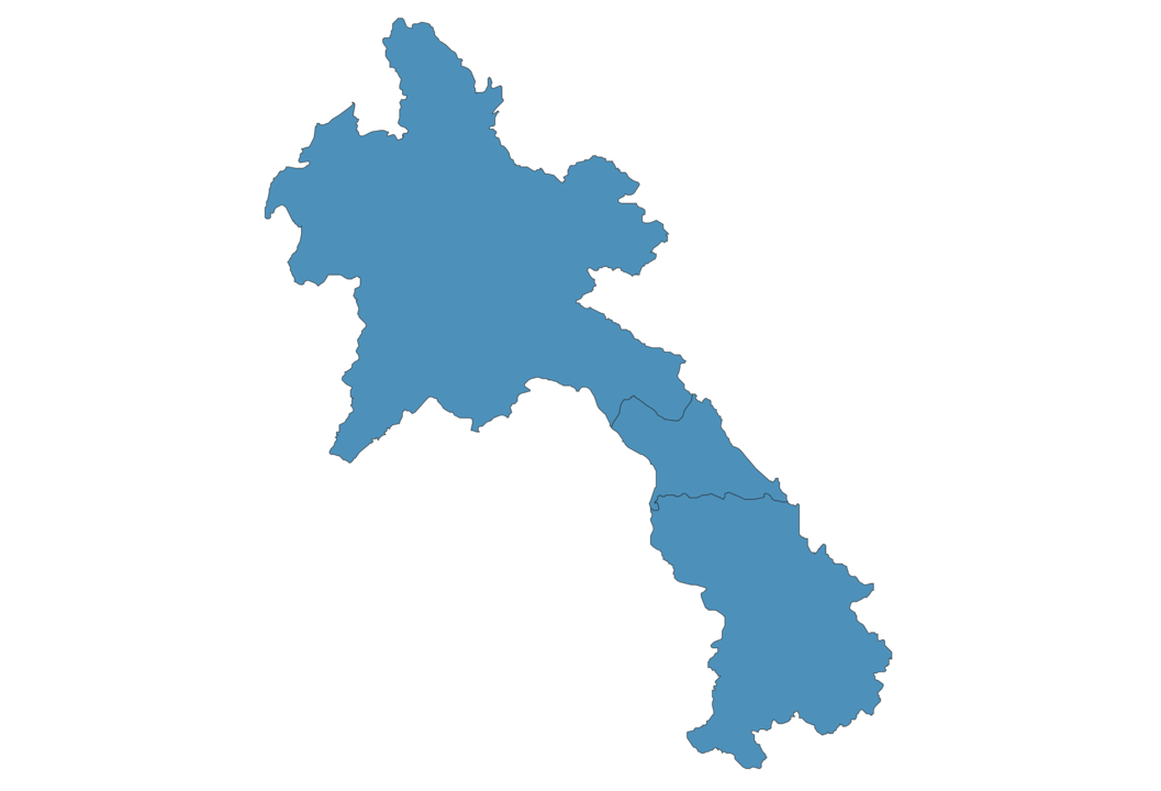
Geography of Laos
Phou Bia is the highest point in Laos at an altitude of 2817 meters, instead the lowest point in the country is Mekong at 70 m.
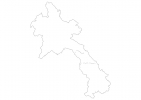
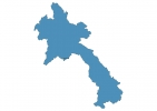
Simple Maps of Laos
Here are the best maps of Laos at high resolution. Below you find printable maps showing Laos in different styles and positions.
Frequently asked questions about Laos
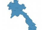
How is Laos divided?
If you are looking for regions or provinces in Laos, here are all the main areas:
- Northeastern
What are the main points of interest in Laos?
The major tourist attractions in Laos are Kuang Si Waterfall, Pha That Luang Vientiane, Phousi Hill, Wat Xiengthong, Pak Ou Caves, Buddha Park, Patuxay Monument, Wat Phu, Plain of Jars Site 3.
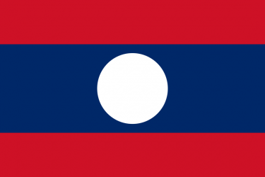
What is the flag of Laos?
What is the capital of Laos?
The main city and capital of Laos is Vientiane.
What is the currency in Laos?
Official currency of Laos is Kip.
What is the population of Laos?
In Laos there are 7285400 people.
What is international phone code in Laos?
Laos telephone code is 856.
Other Country Maps in Asia
Get Full Access
1) Access Map Editor
(create interactive maps)
2) Get 230+ country flags
(100% licensed vectors and images)
3) Get 230+ country maps
(100% licensed vectors and images) Get Full AccessOnly $4/month ($47 for 1 year)
After expiration, you have full licenses of all your downloads forever.