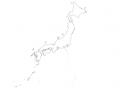
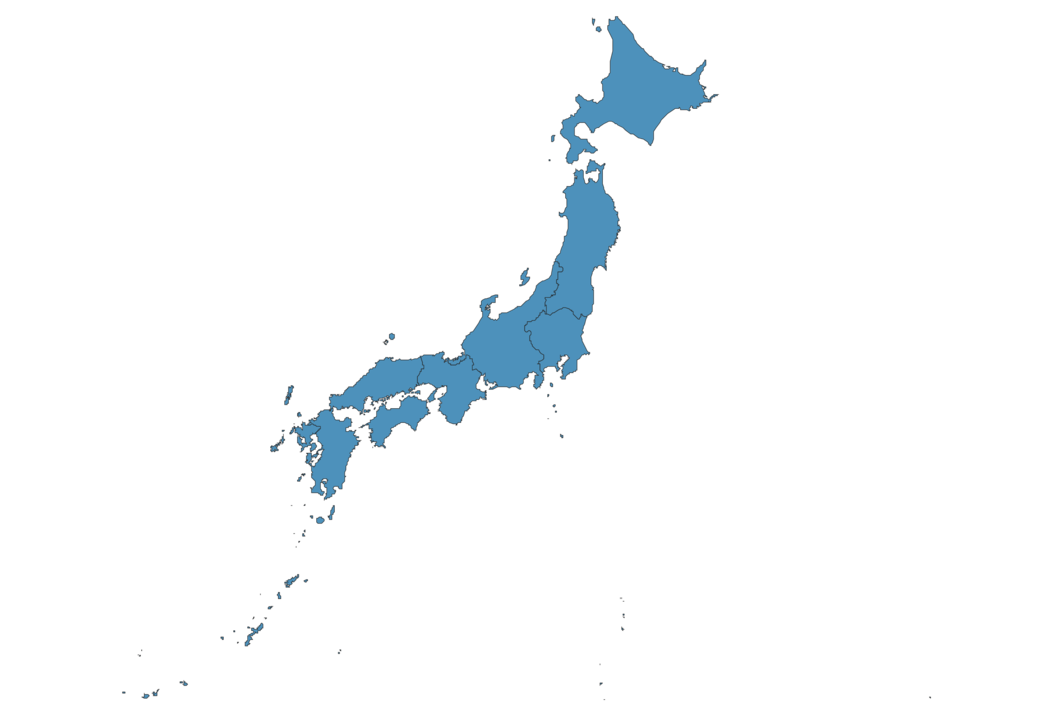
Japan Map - SVG Vector
Interactive Map of Japan
Japan is a Constitutional monarchy founded in 660 and located in the area of Asia, with a land area of 377836 km² and population density of 335 people per km². Territory of Japan borders the sea. Gross domestic product (GDP) is of about 501000 millions of dollars dollars.
Geography of Japan
Mount Fuji on Honshu is the highest point in Japan at an altitude of 3776 meters, instead the lowest point in the country is Hachiro-gata on Honshu at −4 m.
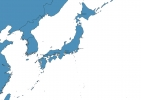
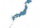
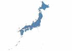
Simple Maps of Japan
Here are the best maps of Japan at high resolution. Below you find printable maps showing Japan in different styles and positions.

Frequently asked questions about Japan
How is Japan divided?
If you are looking for regions or provinces in Japan, here are all the main areas:
- Chubu
- Chugoku
- Hokkaido
- Kanto
- Kinki
- Kyushu
- Okinawa
- Shikoku
- Tohoku
What are the main points of interest in Japan?
The major tourist attractions in Japan are Mount Fuji, Kinkaku-ji, Kiyomizu-dera, Fushimi Inari Taisha, Sensō-ji, Arashiyama, Tokyo Skytree, Osaka Castle, Tokyo Tower.
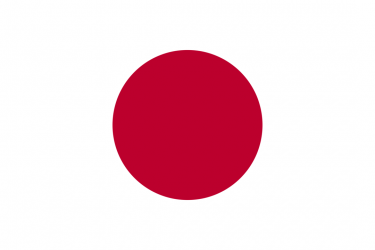
What is the flag of Japan?
What is the capital of Japan?
The main city and capital of Japan is Tokyo.
What is the currency in Japan?
Official currency of Japan is Yen.
What is the population of Japan?
In Japan there are 126441400 people.
What is international phone code in Japan?
Japan telephone code is 81.
Other Country Maps in Asia
Get Full Access
1) Access Map Editor
(create interactive maps)
2) Get 230+ country flags
(100% licensed vectors and images)
3) Get 230+ country maps
(100% licensed vectors and images) Get Full AccessOnly $4/month ($47 for 1 year)
After expiration, you have full licenses of all your downloads forever.