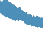
Nepal Map - SVG Vector
Interactive Map of Nepal
Nepal is a Republic founded in 1768 and located in the area of Asia, with a land area of 140801 km² and population density of 207 people per km². Territory of Nepal borders China, India. Gross domestic product (GDP) is of about 193400 millions of dollars dollars.
Geography of Nepal
Mount Everest is the highest point in Nepal at an altitude of 8848 meters, instead the lowest point in the country is Mukhiyapatti Musharniya at 59 m.
Simple Maps of Nepal
Here are the best maps of Nepal at high resolution. Below you find printable maps showing Nepal in different styles and positions.
Frequently asked questions about Nepal
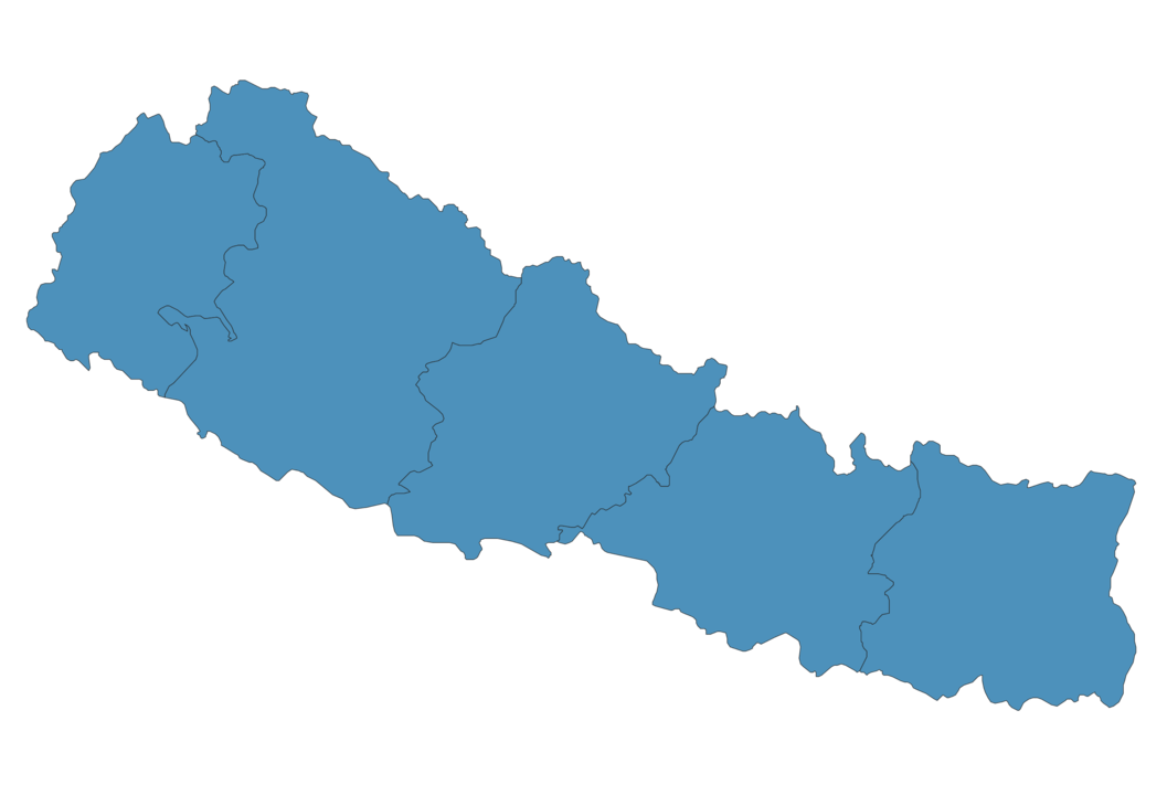
How is Nepal divided?
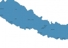
If you are looking for regions or provinces in Nepal, here are all the main areas:
- Central
- East
- Far-Western
- Mid-Western
- West
What are the main points of interest in Nepal?
The major tourist attractions in Nepal are Lemonade cafe, Pashupatinath Temple, Boudha Stupa, Chitwan National Park, Manaslu, Kathmandu Durbar Square, Phewa Lake, Annapurna Sanctuary, Machhapuchhare.
What is the flag of Nepal?

What is the capital of Nepal?
The main city and capital of Nepal is Kathmandu.
What is the currency in Nepal?
Official currency of Nepal is Rupee.
What is the population of Nepal?
In Nepal there are 29185700 people.
What is international phone code in Nepal?
Nepal telephone code is 977.
Other Country Maps in Asia
Get Full Access
1) Access Map Editor
(create interactive maps)
2) Get 230+ country flags
(100% licensed vectors and images)
3) Get 230+ country maps
(100% licensed vectors and images) Get Full AccessOnly $4/month ($47 for 1 year)
After expiration, you have full licenses of all your downloads forever.