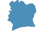
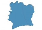
Ivory Coast Map - SVG Vector
Interactive Map of Ivory Coast
Ivory Coast is a Republic founded in 1960 and located in the area of Africa, with a land area of 322461 km² and population density of 78 people per km². Territory of Ivory Coast borders Liberia, Guinea, Mali, Burkina Faso, Ghana. Gross domestic product (GDP) is of about 282800 millions of dollars dollars.
Geography of Ivory Coast
Mont Nimba is the highest point in Ivory Coast at an altitude of 1752 meters, instead the lowest point in the country is Gulf of Guinea at sea level.
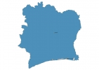
Simple Maps of Ivory Coast
Here are the best maps of Ivory Coast at high resolution. Below you find printable maps showing Ivory Coast in different styles and positions.
Frequently asked questions about Ivory Coast
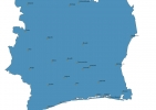
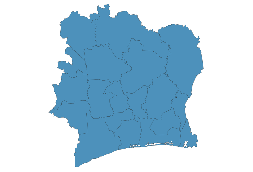
How is Ivory Coast divided?
If you are looking for regions or provinces in Ivory Coast, here are all the main areas:
- Denguélé
- Bafing
- Dix-Huit Montagnes
- Zanzan
- Comoe
- Sud-Comoé
- Savanes
- Cavally
- Bas-Sassandra
- Sud-Bandama
- Lagunes
- Haut-Sassandra
- Agnéby
- N’zi-Comoé
- Marahoué
- Fromager
- Vallée du Bandama
- Lacs
- Worodougou
What are the main points of interest in Ivory Coast?
The major tourist attractions in Ivory Coast are Taï National Park, The Basilica of Our Lady of Peace of Yamoussoukro, Comoé National Park, Parc National du Banco, St. Paul’s Cathedral, Assagny National Park, Jardin Botanique de Bingerville, Iles Ehotile National Park,.
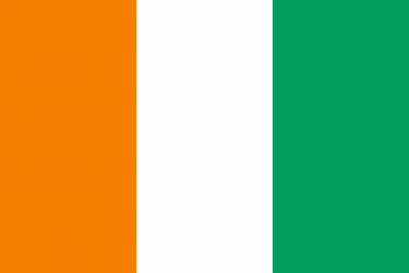
What is the flag of Ivory Coast?
What is the capital of Ivory Coast?
The main city and capital of Ivory Coast is Yamoussoukro.
What is the currency in Ivory Coast?
Official currency of Ivory Coast is Franc.
What is the population of Ivory Coast?
In Ivory Coast there are 25070000 people.
What is international phone code in Ivory Coast?
Ivory Coast telephone code is 225.
Other Country Maps in Africa
Get Full Access
1) Access Map Editor
(create interactive maps)
2) Get 230+ country flags
(100% licensed vectors and images)
3) Get 230+ country maps
(100% licensed vectors and images) Get Full AccessOnly $4/month ($47 for 1 year)
After expiration, you have full licenses of all your downloads forever.