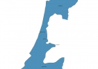
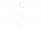
Israel Map - SVG Vector
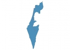
Interactive Map of Israel
Israel is a Republic founded in 1948 and located in the area of Asia, with a land area of 20771 km² and population density of 417 people per km². Territory of Israel borders Egypt, Gaza Strip, Jordan, Lebanon, Syria, West Bank. Gross domestic product (GDP) is of about 273000 millions of dollars dollars.
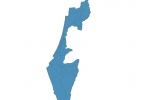
Geography of Israel
Mount Meron is the highest point in Israel at an altitude of 1208 meters, instead the lowest point in the country is Dead Sea at −428 m.
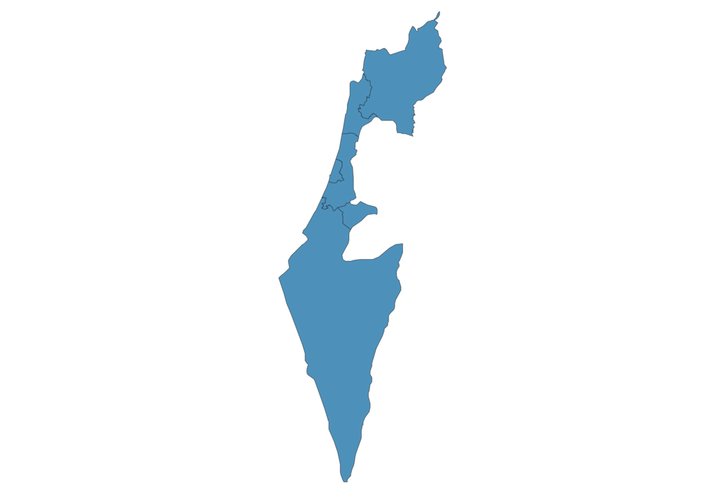
Simple Maps of Israel
Here are the best maps of Israel at high resolution. Below you find printable maps showing Israel in different styles and positions.

Frequently asked questions about Israel
How is Israel divided?
If you are looking for regions or provinces in Israel, here are all the main areas:
- HaDarom
- HaZafon
- Haifa
- HaMerkaz
- Jerusalem
- Tel Aviv
What are the main points of interest in Israel?
The major tourist attractions in Israel are Masada National Park, Ein Gedi Reserve, Mahane Yehuda Market, The Israel Museum, Mount Zion, Bahá’í Gardens, Timna Park, Yad Vashem, Caesarea National Park.
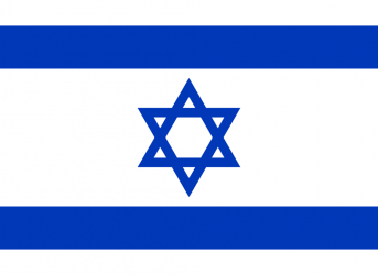
What is the flag of Israel?
What is the capital of Israel?
The main city and capital of Israel is Jerusalem.
What is the currency in Israel?
Official currency of Israel is Shekel.
What is the population of Israel?
In Israel there are 8668200 people.
What is international phone code in Israel?
Israel telephone code is 972.
Other Country Maps in Asia
Get Full Access
1) Access Map Editor
(create interactive maps)
2) Get 230+ country flags
(100% licensed vectors and images)
3) Get 230+ country maps
(100% licensed vectors and images) Get Full AccessOnly $4/month ($47 for 1 year)
After expiration, you have full licenses of all your downloads forever.