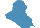
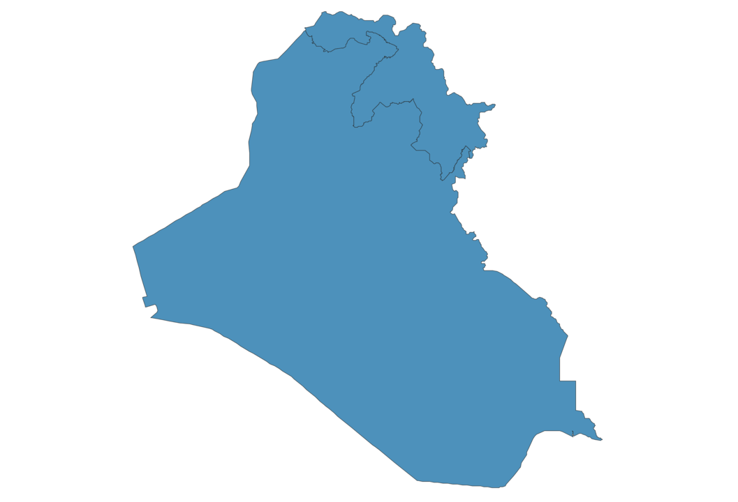
Iraq Map - SVG Vector
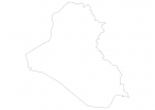
Interactive Map of Iraq
Iraq is a Republic founded in 1932 and located in the area of Asia, with a land area of 437073 km² and population density of 92 people per km². Territory of Iraq borders Iran, Jordan, Kuwait, Saudi Arabia, Syria, Turkey. Gross domestic product (GDP) is of about 222000 millions of dollars dollars.
Geography of Iraq
Cheekha Dar is the highest point in Iraq at an altitude of 3611 meters, instead the lowest point in the country is Persian Gulf at sea level.
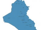
Simple Maps of Iraq
Here are the best maps of Iraq at high resolution. Below you find printable maps showing Iraq in different styles and positions.

Frequently asked questions about Iraq
How is Iraq divided?
If you are looking for regions or provinces in Iraq, here are all the main areas:
- Iraq
- Kurdistan
What are the main points of interest in Iraq?
The major tourist attractions in Iraq are Ishtar Gate, Erbil Citadel, Iraqi Museum, Tower of Babel, Imam Ali Holy Shrine, Great Ziggurat of Ur, The Holy Shrine of Imam Hussain (as), Grand Mosque of Kufa, Malwiya Mosque.
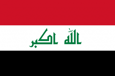
What is the flag of Iraq?
What is the capital of Iraq?
The main city and capital of Iraq is Baghdad.
What is the currency in Iraq?
Official currency of Iraq is Dinar.
What is the population of Iraq?
In Iraq there are 40307200 people.
What is international phone code in Iraq?
Iraq telephone code is 964.
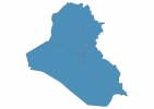
Other Country Maps in Asia
Get Full Access
1) Access Map Editor
(create interactive maps)
2) Get 230+ country flags
(100% licensed vectors and images)
3) Get 230+ country maps
(100% licensed vectors and images) Get Full AccessOnly $4/month ($47 for 1 year)
After expiration, you have full licenses of all your downloads forever.