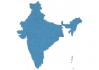
India Map - SVG Vector
Interactive Map of India
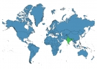
India is a Republic founded in 1947 and located in the area of Asia, with a land area of 3287591 km² and population density of 420 people per km². Territory of India borders Bangladesh, Bhutan, China, Myanmar, Nepal, Pakistan, Sri Lanka. Gross domestic product (GDP) is of about 167000 millions of dollars dollars.
Geography of India
Kangchenjunga is the highest point in India at an altitude of 8586 meters, instead the lowest point in the country is Kuttanad at −2 m.
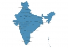
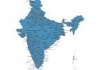
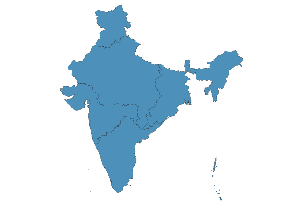
Simple Maps of India
Here are the best maps of India at high resolution. Below you find printable maps showing India in different styles and positions.

Frequently asked questions about India
How is India divided?
If you are looking for regions or provinces in India, here are all the main areas:
- Central
- East
- North
- Northeast
- South
- West
What are the main points of interest in India?
The major tourist attractions in India are Taj Mahal, Amber Palace, Red Fort, Hawa Mahal, Agra Fort, Ranthambore National Park, City Palace, Qutub Minar, Humayun’s Tomb.
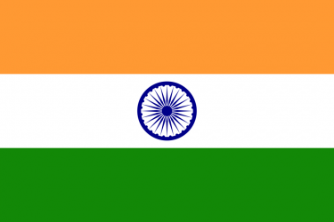
What is the flag of India?
What is the capital of India?
The main city and capital of India is New Delhi.
What is the currency in India?
Official currency of India is Rupee.
What is the population of India?
In India there are 1381255600 people.
What is international phone code in India?
India telephone code is 91.
Other Country Maps in Asia
Get Full Access
1) Access Map Editor
(create interactive maps)
2) Get 230+ country flags
(100% licensed vectors and images)
3) Get 230+ country maps
(100% licensed vectors and images) Get Full AccessOnly $4/month ($47 for 1 year)
After expiration, you have full licenses of all your downloads forever.