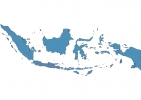
Indonesia Map - SVG Vector
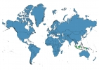
Interactive Map of Indonesia
Indonesia is a Republic founded in 1945 and located in the area of Asia, with a land area of 1919441 km² and population density of 143 people per km². Territory of Indonesia borders East Timor, Malaysia, Papua New Guinea. Gross domestic product (GDP) is of about 868000 millions of dollars dollars.
Geography of Indonesia
Puncak Jaya is the highest point in Indonesia at an altitude of 4884 meters, instead the lowest point in the country is Indian Ocean at sea level.
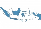
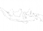
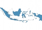
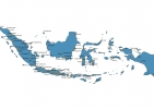
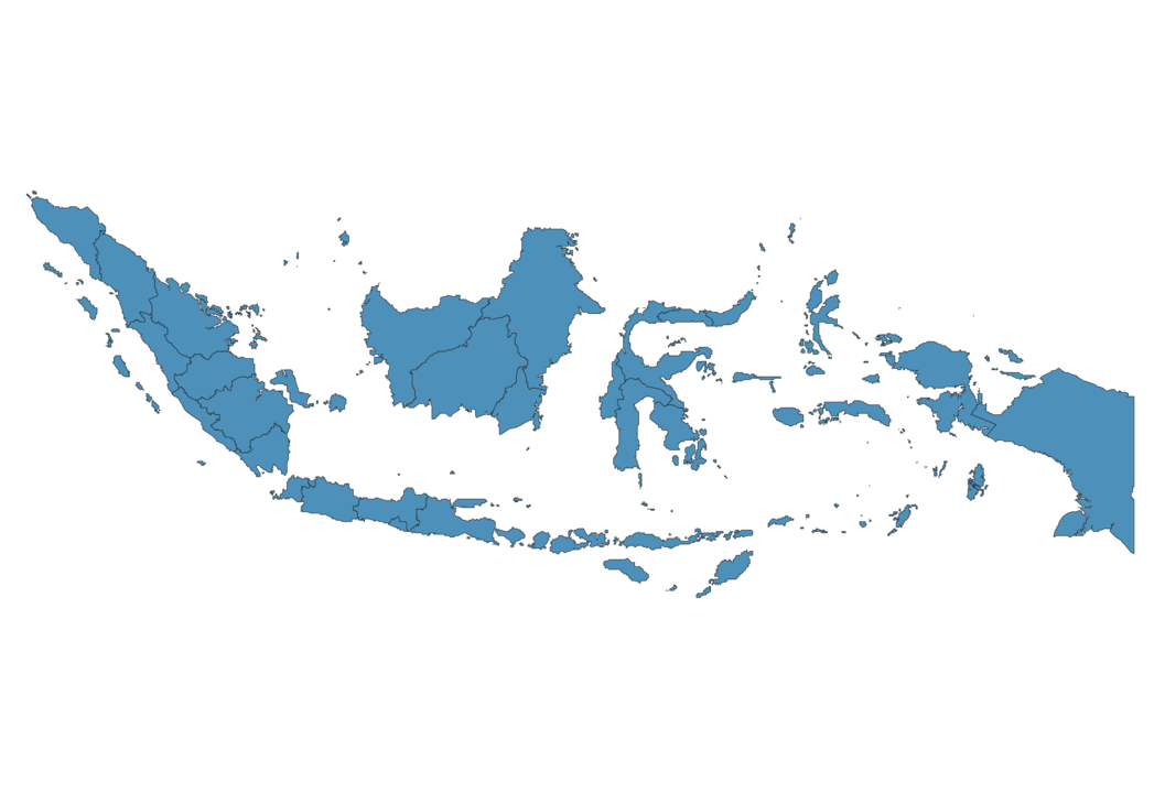
Simple Maps of Indonesia
Here are the best maps of Indonesia at high resolution. Below you find printable maps showing Indonesia in different styles and positions.
Frequently asked questions about Indonesia
How is Indonesia divided?
If you are looking for regions or provinces in Indonesia, here are all the main areas:
- Kalimantan Timur
- Nusa Tenggara Timur
- Kalimantan Barat
- Papua
- Jawa Timur
- Maluku
- Nusa Tenggara Barat
- Sulawesi Selatan
- Jawa Tengah
- Jawa Barat
- Jakarta Raya
- Banten
- Yogyakarta
- Sulawesi Tenggara
- Papua Barat
- Sulawesi Tengah
- Maluku Utara
- Kepulauan Riau
- Riau
- Gorontalo
- Sulawesi Utara
- Sulawesi Barat
- Jambi
- Sumatera Selatan
- Lampung
- Bengkulu
- Sumatera Barat
- Sumatera Utara
- Aceh
- Kalimantan Tengah
- Kalimantan Selatan
- Bali
- Bangka-Belitung
What are the main points of interest in Indonesia?
The major tourist attractions in Indonesia are Tanah Lot, Uluwatu Temple, Seminyak, Borobudur Temple, Sanur, Mount Batur, Gili Islands, Sacred Monkey Forest Sanctuary, Mount Bromo.
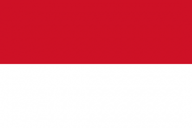
What is the flag of Indonesia?
What is the capital of Indonesia?
The main city and capital of Indonesia is Jakarta.
What is the currency in Indonesia?
Official currency of Indonesia is Rupiah.
What is the population of Indonesia?
In Indonesia there are 273790600 people.
What is international phone code in Indonesia?
Indonesia telephone code is 62.
Other Country Maps in Asia
Get Full Access
1) Access Map Editor
(create interactive maps)
2) Get 230+ country flags
(100% licensed vectors and images)
3) Get 230+ country maps
(100% licensed vectors and images) Get Full AccessOnly $4/month ($47 for 1 year)
After expiration, you have full licenses of all your downloads forever.