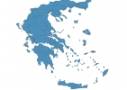
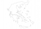
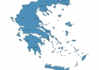
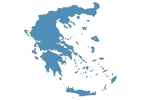
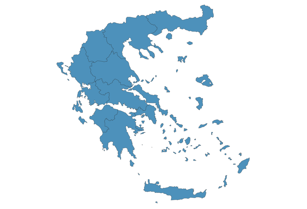
Greece Map - SVG Vector
Interactive Map of Greece
Greece is a Republic founded in 1821 and located in the area of Europe, with a land area of 131941 km² and population density of 79 people per km². Territory of Greece borders Albania, Bulgaria, Turkey, North Macedonia. Gross domestic product (GDP) is of about 243000 millions of dollars dollars.
Geography of Greece
Mount Olympus is the highest point in Greece at an altitude of 2919 meters, instead the lowest point in the country is Mediterranean Sea at sea level.
Simple Maps of Greece
Here are the best maps of Greece at high resolution. Below you find printable maps showing Greece in different styles and positions.

Frequently asked questions about Greece
How is Greece divided?
If you are looking for regions or provinces in Greece, here are all the main areas:
- Macedonia
- Peloponnisos
What are the main points of interest in Greece?
The major tourist attractions in Greece are Acropolis of Athens, Parthenon, Meteora, Acropolis Museum, Temple of Olympian Zeus, Syntagma Square, National Archaeological Museum, Ancient Agora of Athens, Delos.
What is the flag of Greece?

What is the capital of Greece?
The main city and capital of Greece is Athens.
What is the currency in Greece?
Official currency of Greece is Euro.
What is the population of Greece?
In Greece there are 10418500 people.
What is international phone code in Greece?
Greece telephone code is 30.
Other Country Maps in Europe
Get Full Access
1) Access Map Editor
(create interactive maps)
2) Get 230+ country flags
(100% licensed vectors and images)
3) Get 230+ country maps
(100% licensed vectors and images) Get Full AccessOnly $4/month ($47 for 1 year)
After expiration, you have full licenses of all your downloads forever.