French Polynesia Map - SVG Vector
Interactive Map of French Polynesia
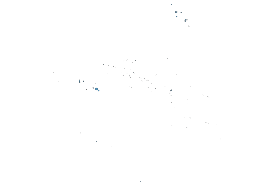
French Polynesia is a Parliamentary democracy founded in 1842 and located in the area of Oceania, with a land area of 4168 km² and population density of 67 people per km². Territory of French Polynesia borders Pacific ocean. Gross domestic product (GDP) is of about 565000 millions of dollars dollars.
Geography of French Polynesia
Mont Orohena is the highest point in French Polynesia at an altitude of 2241 meters, instead the lowest point in the country is South Pacific Ocean at sea level.
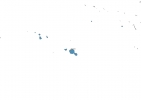
Simple Maps of French Polynesia
Here are the best maps of French Polynesia at high resolution. Below you find printable maps showing French Polynesia in different styles and positions.

Frequently asked questions about French Polynesia
How is French Polynesia divided?
If you are looking for regions or provinces in French Polynesia, here are all the main areas:
- Tuamotu-Gambier
- Windward Islands
- Leeward Islands
- Austral Islands
- Marquesas Islands
What are the main points of interest in French Polynesia?
The major tourist attractions in French Polynesia are Maupiti Island, ‘Ōpūnohu Bay, Matira Point, Matira Beach, Marae Taputapuātea, Otemanu, Robert Wan Pearl Museum, Tūpai, Belvedere Lookout.
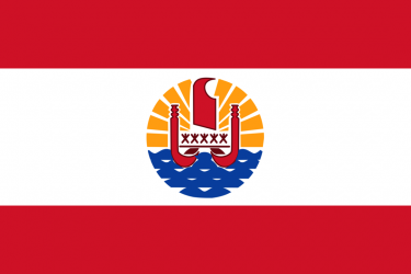
What is the flag of French Polynesia?
What is the capital of French Polynesia?
The main city and capital of French Polynesia is Papeete.
What is the currency in French Polynesia?
Official currency of French Polynesia is Franc.
What is the population of French Polynesia?
In French Polynesia there are 281100 people.
What is international phone code in French Polynesia?
French Polynesia telephone code is 689.
Other Country Maps in Oceania
Get Full Access
1) Access Map Editor
(create interactive maps)
2) Get 230+ country flags
(100% licensed vectors and images)
3) Get 230+ country maps
(100% licensed vectors and images) Get Full AccessOnly $4/month ($47 for 1 year)
After expiration, you have full licenses of all your downloads forever.