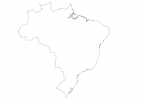
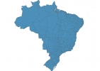
Brazil Map - SVG Vector
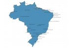
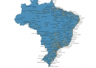
Interactive Map of Brazil
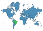
Brazil is a Republic founded in 1822 and located in the area of South America, with a land area of 8511966 km² and population density of 25 people per km². Territory of Brazil borders Argentina, Bolivia, Colombia, French Guiana, Guyana, Paraguay, Peru, Suriname, Uruguay, Venezuela. Gross domestic product (GDP) is of about 219000 millions of dollars dollars.
Geography of Brazil
Pico da Neblina is the highest point in Brazil at an altitude of 2995 meters, instead the lowest point in the country is Atlantic Ocean at sea level.
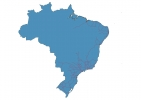
Simple Maps of Brazil
Here are the best maps of Brazil at high resolution. Below you find printable maps showing Brazil in different styles and positions.
Frequently asked questions about Brazil
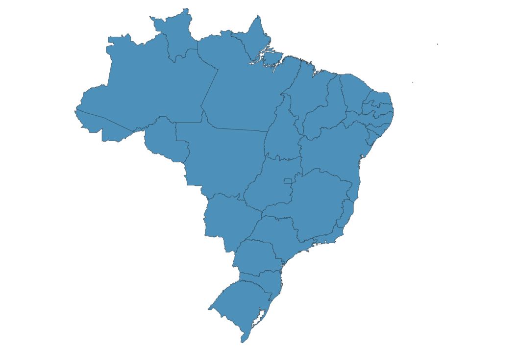
How is Brazil divided?
If you are looking for regions or provinces in Brazil, here are all the main areas:
- Rio Grande do Sul
- Roraima
- Pará
- Acre
- Amapá
- Mato Grosso do Sul
- Paraná
- Santa Catarina
- Amazonas
- Rondônia
- Mato Grosso
- Maranhão
- Piauí
- Ceará
- Rio Grande do Norte
- Paraíba
- Pernambuco
- Alagoas
- Sergipe
- Bahia
- Espírito Santo
- Rio de Janeiro
- São Paulo
- Goiás
- Distrito Federal
- Minas Gerais
- Tocantins
What are the main points of interest in Brazil?
The major tourist attractions in Brazil are Christ the Redeemer, Sugarloaf Mountain, Corcovado, Fernando de Noronha, Parque Nacional dos Lençóis Maranhenses, Escadaria Selarón, Ibirapuera Park, Tijuca National Park, Museum of Art of São Paulo Assis Chateaubriand.
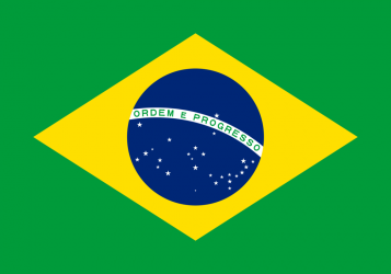
What is the flag of Brazil?
What is the capital of Brazil?
The main city and capital of Brazil is Brasilia.
What is the currency in Brazil?
Official currency of Brazil is Real.
What is the population of Brazil?
In Brazil there are 212698300 people.
What is international phone code in Brazil?
Brazil telephone code is 55.
Other Country Maps in South America
Get Full Access
1) Access Map Editor
(create interactive maps)
2) Get 230+ country flags
(100% licensed vectors and images)
3) Get 230+ country maps
(100% licensed vectors and images) Get Full AccessOnly $4/month ($47 for 1 year)
After expiration, you have full licenses of all your downloads forever.