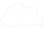
Bhutan Map - SVG Vector
Interactive Map of Bhutan
Bhutan is a Constitutional monarchy founded in 1907 and located in the area of Asia, with a land area of 47001 km² and population density of 16 people per km². Territory of Bhutan borders China, India. Gross domestic product (GDP) is of about 213300 millions of dollars dollars.
Geography of Bhutan
Gangkhar Puensum is the highest point in Bhutan at an altitude of 7570 meters, instead the lowest point in the country is Drangme Chhu at 97 m.
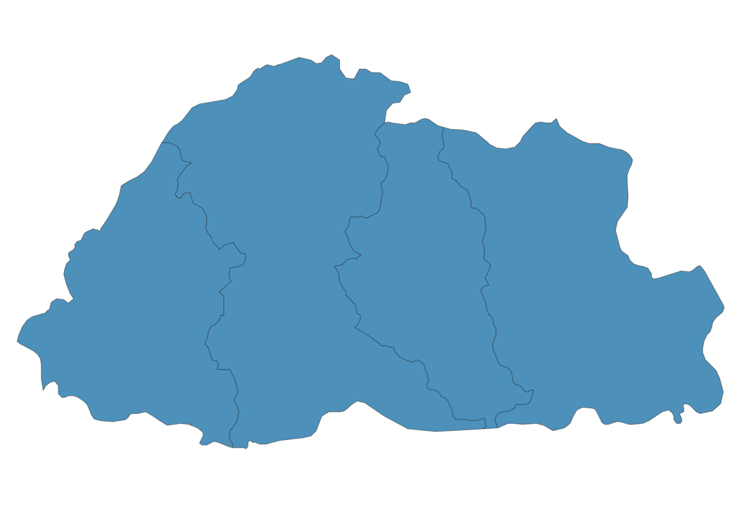
Simple Maps of Bhutan
Here are the best maps of Bhutan at high resolution. Below you find printable maps showing Bhutan in different styles and positions.
Frequently asked questions about Bhutan
How is Bhutan divided?
If you are looking for regions or provinces in Bhutan, here are all the main areas:
- Central
- Eastern
- Southern
- Western
What are the main points of interest in Bhutan?
The major tourist attractions in Bhutan are Paro Taktsang, Punakha Dzong, Tashichho Dzong, Gangtey Monastery, National Museum of Bhutan, Kyichu Lhakhang, Phobjikha Valley, Drukgyel Dzong, Buddha Dordenma.
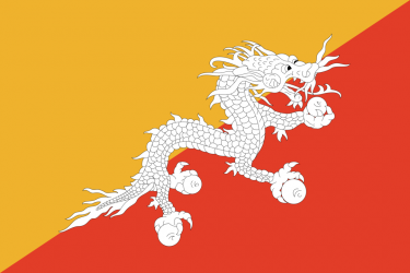
What is the flag of Bhutan?
What is the capital of Bhutan?
The main city and capital of Bhutan is Thimphu.
What is the currency in Bhutan?
Official currency of Bhutan is Ngultrum.
What is the population of Bhutan?
In Bhutan there are 772400 people.
What is international phone code in Bhutan?
Bhutan telephone code is 975.
Other Country Maps in Asia
Get Full Access
1) Access Map Editor
(create interactive maps)
2) Get 230+ country flags
(100% licensed vectors and images)
3) Get 230+ country maps
(100% licensed vectors and images) Get Full AccessOnly $4/month ($47 for 1 year)
After expiration, you have full licenses of all your downloads forever.