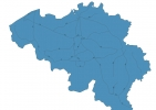
Belgium Map - SVG Vector
Interactive Map of Belgium
Belgium is a Constitutional monarchy founded in 1830 and located in the area of Europe, with a land area of 30511 km² and population density of 380 people per km². Territory of Belgium borders France, Germany, Luxembourg, Netherlands. Gross domestic product (GDP) is of about 507000 millions of dollars dollars.
Geography of Belgium
Signal de Botrange is the highest point in Belgium at an altitude of 694 meters, instead the lowest point in the country is Multiple at west of Veurne.
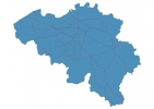
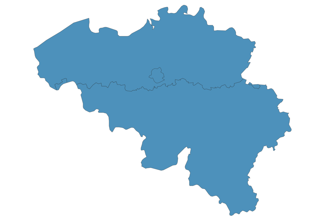
Simple Maps of Belgium
Here are the best maps of Belgium at high resolution. Below you find printable maps showing Belgium in different styles and positions.

Frequently asked questions about Belgium
How is Belgium divided?
If you are looking for regions or provinces in Belgium, here are all the main areas:
- Capital Region
- Flemish
- Walloon
What are the main points of interest in Belgium?
The major tourist attractions in Belgium are Grand Place, Manneken Pis, Atomium, Markt, Ardennes, Belfry of Bruges, Royal Palace of Brussels, Mini-Europe, Gravensteen.
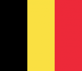
What is the flag of Belgium?
What is the capital of Belgium?
The main city and capital of Belgium is Brussels.
What is the currency in Belgium?
Official currency of Belgium is Euro.
What is the population of Belgium?
In Belgium there are 11594300 people.
What is international phone code in Belgium?
Belgium telephone code is 32.
Other Country Maps in Europe
Get Full Access
1) Access Map Editor
(create interactive maps)
2) Get 230+ country flags
(100% licensed vectors and images)
3) Get 230+ country maps
(100% licensed vectors and images) Get Full AccessOnly $4/month ($47 for 1 year)
After expiration, you have full licenses of all your downloads forever.